
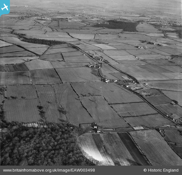
EAW003498 ENGLAND (1947). Stubbin Lane and surrounding countryside, Hoober, 1947
© Copyright OpenStreetMap contributors and licensed by the OpenStreetMap Foundation. 2024. Cartography is licensed as CC BY-SA.
Nearby Images (3)
EAW003498

EAW003511

EAW003512

Details
| Title | [EAW003498] Stubbin Lane and surrounding countryside, Hoober, 1947 |
| Reference | EAW003498 |
| Date | 12-January-1947 |
| Link | |
| Place name | HOOBER |
| Parish | BRAMPTON BIERLOW |
| District | |
| Country | ENGLAND |
| Easting / Northing | 441798, 397557 |
| Longitude / Latitude | -1.3702096976438, 53.472831199951 |
| National Grid Reference | SK418976 |
Pins
Be the first to add a comment to this image!


