
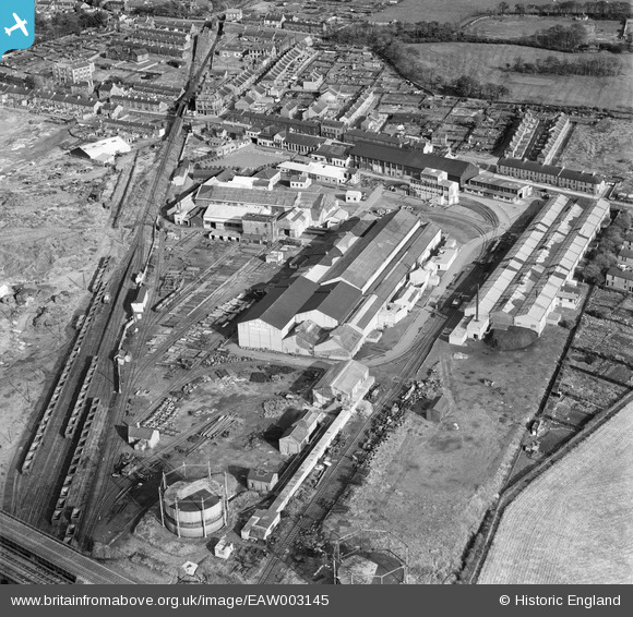
EAW003145 ENGLAND (1946). The Birtley Iron Co Ltd Works, Birtley, 1946
© Copyright OpenStreetMap contributors and licensed by the OpenStreetMap Foundation. 2024. Cartography is licensed as CC BY-SA.
Nearby Images (14)
EAW003145

EAW003143

EAW003148

EAW003141

EAW003142

EAW003146

EAW003139

EAW003140

EAW003138

EAW003149

EAW003144

EAW003136

EAW003147

EAW003137

Details
| Title | [EAW003145] The Birtley Iron Co Ltd Works, Birtley, 1946 |
| Reference | EAW003145 |
| Date | 23-October-1946 |
| Link | |
| Place name | BIRTLEY |
| Parish | |
| District | |
| Country | ENGLAND |
| Easting / Northing | 427052, 555082 |
| Longitude / Latitude | -1.5782190404939, 54.889662289383 |
| National Grid Reference | NZ271551 |


