
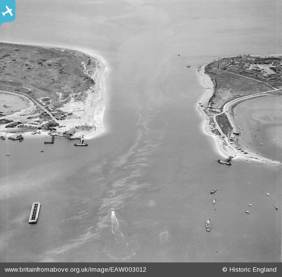
EAW003012 ENGLAND (1946). Langstone Channel, Hayling Island, 1946
© Copyright OpenStreetMap contributors and licensed by the OpenStreetMap Foundation. 2024. Cartography is licensed as CC BY-SA.
Nearby Images (2)
EAW003012

EAW003013

Details
| Title | [EAW003012] Langstone Channel, Hayling Island, 1946 |
| Reference | EAW003012 |
| Date | 3-October-1946 |
| Link | |
| Place name | HAYLING ISLAND |
| Parish | |
| District | |
| Country | ENGLAND |
| Easting / Northing | 468663, 99998 |
| Longitude / Latitude | -1.0256567241146, 50.794909550345 |
| National Grid Reference | SZ6871000 |
Pins
 redmist |
Friday 27th of January 2023 08:23:17 PM | |
redmist |
Thursday 26th of January 2023 09:59:20 PM | |
redmist |
Thursday 26th of January 2023 09:55:16 PM | |
redmist |
Thursday 26th of January 2023 09:53:15 PM | |
redmist |
Thursday 26th of January 2023 09:32:18 PM | |
redmist |
Thursday 26th of January 2023 09:31:26 PM | |
redmist |
Thursday 26th of January 2023 09:30:12 PM | |
redmist |
Thursday 26th of January 2023 09:25:00 PM | |
Chris Kolonko |
Thursday 5th of September 2019 02:08:20 PM | |
Good Old Uncle Ted |
Monday 24th of April 2017 01:09:04 PM | |
Dan Gregory |
Wednesday 4th of June 2014 12:29:02 PM | |
Al |
Monday 6th of January 2014 04:56:52 PM | |
Al |
Monday 6th of January 2014 04:53:37 PM |


