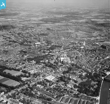
EAW002151 ENGLAND (1946). The city, York, from the west, 1946
© Copyright OpenStreetMap contributors and licensed by the OpenStreetMap Foundation. 2024. Cartography is licensed as CC BY-SA.
Details
| Title | [EAW002151] The city, York, from the west, 1946 |
| Reference | EAW002151 |
| Date | 1-August-1946 |
| Link | |
| Place name | YORK |
| Parish | |
| District | |
| Country | ENGLAND |
| Easting / Northing | 459991, 452277 |
| Longitude / Latitude | -1.0855118952963, 53.962895840982 |
| National Grid Reference | SE600523 |
Pins
 redmist |
Thursday 1st of November 2018 10:08:48 PM | |
 Joelybean |
Wednesday 4th of April 2018 12:29:51 PM | |
 Tegels |
Wednesday 12th of November 2014 04:22:49 PM | |
 Class31 |
Wednesday 7th of May 2014 08:43:02 AM | |
 Alan McFaden |
Tuesday 21st of January 2014 05:47:11 PM | |
 Alan McFaden |
Tuesday 21st of January 2014 05:46:44 PM | |
 Jago |
Tuesday 15th of October 2013 03:11:57 PM | |
 YorkStories |
Saturday 31st of August 2013 11:56:15 AM | |
 YorkStories |
Saturday 31st of August 2013 11:54:32 AM |
User Comment Contributions
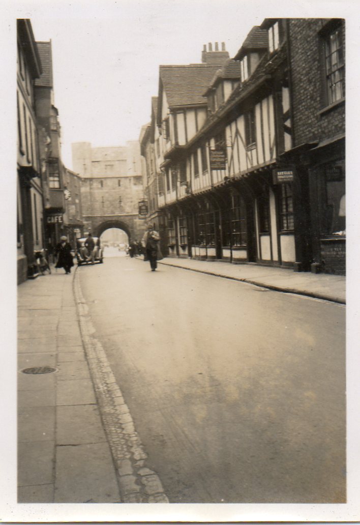
 An original snapshot of York taken in June or July 1939. "High Petergate & Bootham Bar " |
 Class31 |
Wednesday 7th of May 2014 08:57:43 AM |
 An original snapshot of York taken in June or July 1939. "Bootham Bar " |
 Class31 |
Wednesday 7th of May 2014 08:43:23 AM |
 YorkStories |
Saturday 31st of August 2013 11:57:43 AM |


![[EAW002151] The city, York, from the west, 1946](http://britainfromabove.org.uk/sites/all/libraries/aerofilms-images/public/100x100/EAW/002/EAW002151.jpg)
![[EAW049696] York Minster, York, 1953](http://britainfromabove.org.uk/sites/all/libraries/aerofilms-images/public/100x100/EAW/049/EAW049696.jpg)
![[EAW000863] York Minster and environs, York, 1946](http://britainfromabove.org.uk/sites/all/libraries/aerofilms-images/public/100x100/EAW/000/EAW000863.jpg)


