
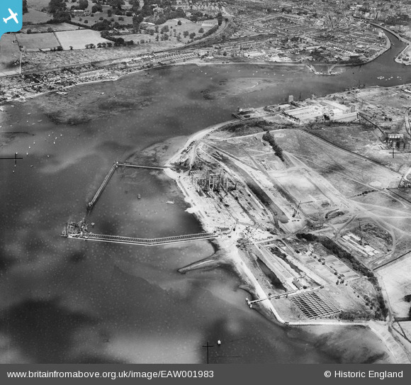
EAW001983 ENGLAND (1946). Land reclamation and dock buildings under construction at Greenwich, Ipswich, 1946. This image has been produced from a damaged negative.
© Copyright OpenStreetMap contributors and licensed by the OpenStreetMap Foundation. 2024. Cartography is licensed as CC BY-SA.
Nearby Images (48)
EAW001983

EAW001989

EAW033191

EAW033194

EAW001987

EAW027817

EAW001984

EAW033193

EAW033196

EAW020670

EAW024326

EAW008089

EAW017572

EAW008088

EAW020668

EAW002323

EAW024335

EAW002321

EAW001990

EAW002326

EAW027814

EAW017578

EAW008082

EAW017579

EAW002318

EAW024319

EAW024338

EAW024336

EAW017565

EAW024332

EAW033200

EAW027825

EAW008084

EAW027822

EAW027823

EAW027812

EAW008078

EAW027819

EAW033198

EAW008083

EAW002324

EAW020671

EAW020689

EAW017564

EAW020681

EAW024334

EAW020676

EAW024322

Details
| Title | [EAW001983] Land reclamation and dock buildings under construction at Greenwich, Ipswich, 1946. This image has been produced from a damaged negative. |
| Reference | EAW001983 |
| Date | 25-July-1946 |
| Link | |
| Place name | IPSWICH |
| Parish | |
| District | |
| Country | ENGLAND |
| Easting / Northing | 616907, 242129 |
| Longitude / Latitude | 1.1627170293932, 52.034648758032 |
| National Grid Reference | TM169421 |
Pins
 redmist |
Saturday 16th of September 2023 07:50:46 PM |


