
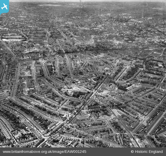
EAW001245 ENGLAND (1946). A cityscape over Balsall Heath and Sparkbrook including Stratford Road, Balsall Heath, from the south-east, 1946
© Copyright OpenStreetMap contributors and licensed by the OpenStreetMap Foundation. 2024. Cartography is licensed as CC BY-SA.
Nearby Images (2)
EAW001245

EAW001244

Details
| Title | [EAW001245] A cityscape over Balsall Heath and Sparkbrook including Stratford Road, Balsall Heath, from the south-east, 1946 |
| Reference | EAW001245 |
| Date | 24-June-1946 |
| Link | |
| Place name | BALSALL HEATH |
| Parish | |
| District | |
| Country | ENGLAND |
| Easting / Northing | 409083, 284196 |
| Longitude / Latitude | -1.8663191150675, 52.455268981391 |
| National Grid Reference | SP091842 |
Pins
 Griffin |
Sunday 8th of November 2015 07:45:54 PM |


