
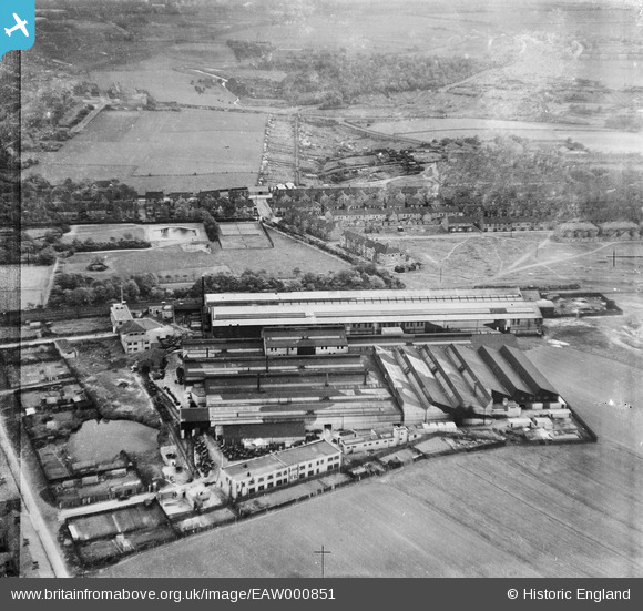
EAW000851 ENGLAND (1946). Baker Perkins Ltd Bedewell Engineering Works, Jarrow Park and environs, Monkton, 1946
© Copyright OpenStreetMap contributors and licensed by the OpenStreetMap Foundation. 2024. Cartography is licensed as CC BY-SA.
Nearby Images (17)
EAW000851

EAW000848

EAW002142

EAW000853

EAW002140

EAW002143

EAW000854

EAW002139

EAW000850

EAW002144

EAW002141

EAW000849

EAW002137

EAW002136

EAW000852

EPW019882
, Jarrow, 1927")
EPW019885
, Jarrow, 1927")
Details
| Title | [EAW000851] Baker Perkins Ltd Bedewell Engineering Works, Jarrow Park and environs, Monkton, 1946 |
| Reference | EAW000851 |
| Date | 15-May-1946 |
| Link | |
| Place name | MONKTON |
| Parish | |
| District | |
| Country | ENGLAND |
| Easting / Northing | 432282, 564502 |
| Longitude / Latitude | -1.4956205804678, 54.974009156112 |
| National Grid Reference | NZ323645 |
Pins
 redmist |
Thursday 24th of October 2019 11:26:57 AM | |
redmist |
Thursday 24th of October 2019 11:25:31 AM | |
redmist |
Thursday 24th of October 2019 11:24:21 AM | |
only1jdw |
Wednesday 23rd of December 2015 05:10:48 PM | |
only1jdw |
Wednesday 23rd of December 2015 05:07:57 PM | |
N Dunn |
Sunday 8th of December 2013 01:38:27 PM | |
N Dunn |
Sunday 8th of December 2013 01:36:02 PM | |
N Dunn |
Sunday 8th of December 2013 01:35:22 PM | |
N Dunn |
Sunday 8th of December 2013 01:31:47 PM | |
N Dunn |
Sunday 8th of December 2013 01:29:51 PM | |
N Dunn |
Sunday 8th of December 2013 01:26:29 PM | |
N Dunn |
Tuesday 5th of November 2013 10:20:51 AM | |
N Dunn |
Tuesday 5th of November 2013 10:20:00 AM | |
N Dunn |
Tuesday 5th of November 2013 10:19:21 AM | |
N Dunn |
Tuesday 5th of November 2013 10:18:28 AM | |
N Dunn |
Tuesday 5th of November 2013 10:17:02 AM | |
N Dunn |
Tuesday 5th of November 2013 10:16:16 AM | |
N Dunn |
Tuesday 5th of November 2013 10:15:55 AM | |
N Dunn |
Tuesday 5th of November 2013 10:15:09 AM | |
N Dunn |
Tuesday 5th of November 2013 10:13:59 AM | |
N Dunn |
Tuesday 5th of November 2013 10:13:26 AM |


