
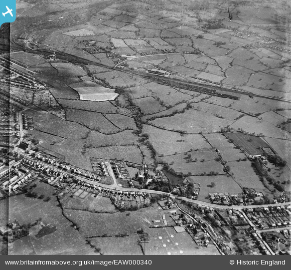
EAW000340 ENGLAND (1946). Crewe Road/Nantwich Road, the Gresty Brook and environs, Wistaston, 1946
© Copyright OpenStreetMap contributors and licensed by the OpenStreetMap Foundation. 2024. Cartography is licensed as CC BY-SA.
Details
| Title | [EAW000340] Crewe Road/Nantwich Road, the Gresty Brook and environs, Wistaston, 1946 |
| Reference | EAW000340 |
| Date | 19-April-1946 |
| Link | |
| Place name | WISTASTON |
| Parish | WISTASTON |
| District | |
| Country | ENGLAND |
| Easting / Northing | 369920, 353877 |
| Longitude / Latitude | -2.4491019300374, 53.080969026954 |
| National Grid Reference | SJ699539 |
Pins
 Creweboy |
Wednesday 25th of November 2020 09:33:21 AM | |
Creweboy |
Wednesday 25th of November 2020 09:31:46 AM | |
Creweboy |
Wednesday 25th of November 2020 09:30:03 AM | |
Creweboy |
Wednesday 25th of November 2020 09:29:31 AM | |
Creweboy |
Wednesday 25th of November 2020 09:28:52 AM | |
Creweboy |
Monday 15th of July 2019 09:48:21 AM | |
 redmist |
Friday 22nd of March 2019 05:52:19 PM | |
Creweboy |
Sunday 17th of January 2016 09:14:06 PM | |
SteveB |
Friday 23rd of August 2013 06:36:09 PM | |
SteveB |
Friday 23rd of August 2013 06:35:37 PM | |
SteveB |
Friday 23rd of August 2013 06:35:07 PM | |
SteveB |
Friday 23rd of August 2013 06:33:40 PM |


