
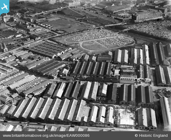
EAW000086 ENGLAND (1946). The Government Training Centre (Ministry of Labour), industrial works off Gorst Road and the adjacent Cemetery, North Acton, 1946
© Copyright OpenStreetMap contributors and licensed by the OpenStreetMap Foundation. 2024. Cartography is licensed as CC BY-SA.
Nearby Images (24)
EAW000086
, industrial works off Gorst Road and the adjacent Cemetery, North Acton, 1946")
EAW000088
, Carters Invalid Furniture Works and the surrounding industrial area, North Acton, 1946")
EAW000083
, Carters Invalid Furniture Works and the surrounding industrial area, North Acton, 1946")
EAW004143

EAW000084
, Carters Invalid Furniture Works and the surrounding industrial area, North Acton, 1946")
EAW000085
 and the surrounding industrial area, North Acton, 1946")
EAW000087
, Carters Invalid Furniture Works and the surrounding industrial area, North Acton, 1946")
EAW004138

EAW004136

EAW004139

EAW004142

EAW033539

EAW033541

EAW033536

EAW033535

EAW033534

EAW033540

EAW004141

EAW033537

EAW033538

EAW004140

EAW004137

EAW000468

EPW052703

Details
| Title | [EAW000086] The Government Training Centre (Ministry of Labour), industrial works off Gorst Road and the adjacent Cemetery, North Acton, 1946 |
| Reference | EAW000086 |
| Date | 1-April-1946 |
| Link | |
| Place name | NORTH ACTON |
| Parish | |
| District | |
| Country | ENGLAND |
| Easting / Northing | 520631, 182291 |
| Longitude / Latitude | -0.26089785283175, 51.526150184829 |
| National Grid Reference | TQ206823 |
Pins
 Sparky |
Wednesday 30th of August 2017 07:39:06 PM |


