
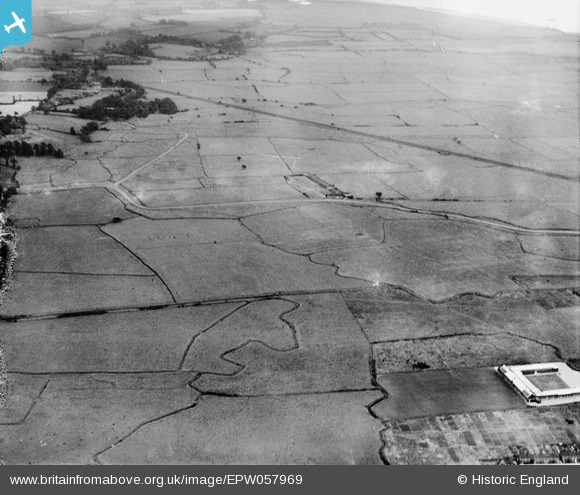
epw057969 ENGLAND (1938). Fort Road, the London, Tilbury and Southend Railway and Tilbury Marshes, Tilbury, 1938
© Hawlfraint cyfranwyr OpenStreetMap a thrwyddedwyd gan yr OpenStreetMap Foundation. 2024. Trwyddedir y gartograffeg fel CC BY-SA.
Delweddau cyfagos (3)
EPW057969

EPW057976

EPW057975

Manylion
| Pennawd | [EPW057969] Fort Road, the London, Tilbury and Southend Railway and Tilbury Marshes, Tilbury, 1938 |
| Cyfeirnod | EPW057969 |
| Dyddiad | 17-July-1938 |
| Dolen | |
| Enw lle | TILBURY |
| Plwyf | |
| Ardal | |
| Gwlad | ENGLAND |
| Dwyreiniad / Gogleddiad | 565448, 177209 |
| Hydred / Lledred | 0.38231282188322, 51.469138463465 |
| Cyfeirnod Grid Cenedlaethol | TQ654772 |
Pinnau
 BigglesH |
Monday 7th of October 2013 06:46:14 PM | |
BigglesH |
Monday 7th of October 2013 06:44:20 PM | |
BigglesH |
Monday 7th of October 2013 06:38:00 PM | |
BigglesH |
Monday 7th of October 2013 06:35:49 PM | |
BigglesH |
Monday 7th of October 2013 06:30:45 PM | |
This school was Manorway School now called Tilbury Pioneer Academy |
C.Coles |
Tuesday 24th of February 2015 10:48:19 PM |


