
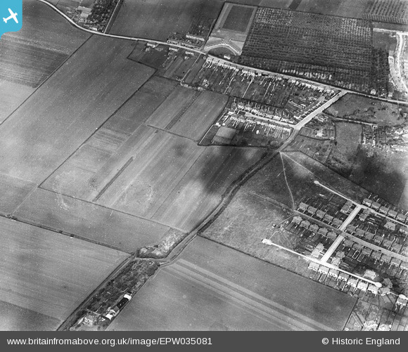
epw035081 ENGLAND (1931). Springwell Road, Heston, 1931
© Hawlfraint cyfranwyr OpenStreetMap a thrwyddedwyd gan yr OpenStreetMap Foundation. 2024. Trwyddedir y gartograffeg fel CC BY-SA.
Delweddau cyfagos (3)
EPW035081

EPW043687

EPW043691

Manylion
| Pennawd | [EPW035081] Springwell Road, Heston, 1931 |
| Cyfeirnod | EPW035081 |
| Dyddiad | May-1931 |
| Dolen | |
| Enw lle | HESTON |
| Plwyf | |
| Ardal | |
| Gwlad | ENGLAND |
| Dwyreiniad / Gogleddiad | 511924, 177010 |
| Hydred / Lledred | -0.3880447104523, 51.480472865374 |
| Cyfeirnod Grid Cenedlaethol | TQ119770 |
Pinnau
 strtncll |
Sunday 7th of May 2023 12:35:56 PM | |
Isleworth1961 |
Monday 11th of February 2013 03:10:11 PM | |
Isleworth1961 |
Monday 11th of February 2013 03:09:00 PM | |
Isleworth1961 |
Monday 11th of February 2013 03:08:20 PM | |
Isleworth1961 |
Monday 11th of February 2013 03:07:56 PM | |
Isleworth1961 |
Monday 11th of February 2013 03:07:30 PM |


