
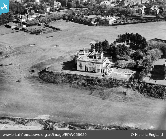
EPW059620 ENGLAND (1938). The Mount, Burnham-on-Sea, 1938
© Hawlfraint cyfranwyr OpenStreetMap a thrwyddedwyd gan yr OpenStreetMap Foundation. 2024. Trwyddedir y gartograffeg fel CC BY-SA.
Delweddau cyfagos (3)
EPW059620

EAW049746

EPW027972

Manylion
| Pennawd | [EPW059620] The Mount, Burnham-on-Sea, 1938 |
| Cyfeirnod | EPW059620 |
| Dyddiad | 24-September-1938 |
| Dolen | |
| Enw lle | BURNHAM-ON-SEA |
| Plwyf | BURNHAM-ON-SEA AND HIGHBRIDGE |
| Ardal | |
| Gwlad | ENGLAND |
| Dwyreiniad / Gogleddiad | 330189, 150192 |
| Hydred / Lledred | -3.0002970750726, 51.246111127699 |
| Cyfeirnod Grid Cenedlaethol | ST302502 |
Pinnau


Cyfraniadau Grŵp
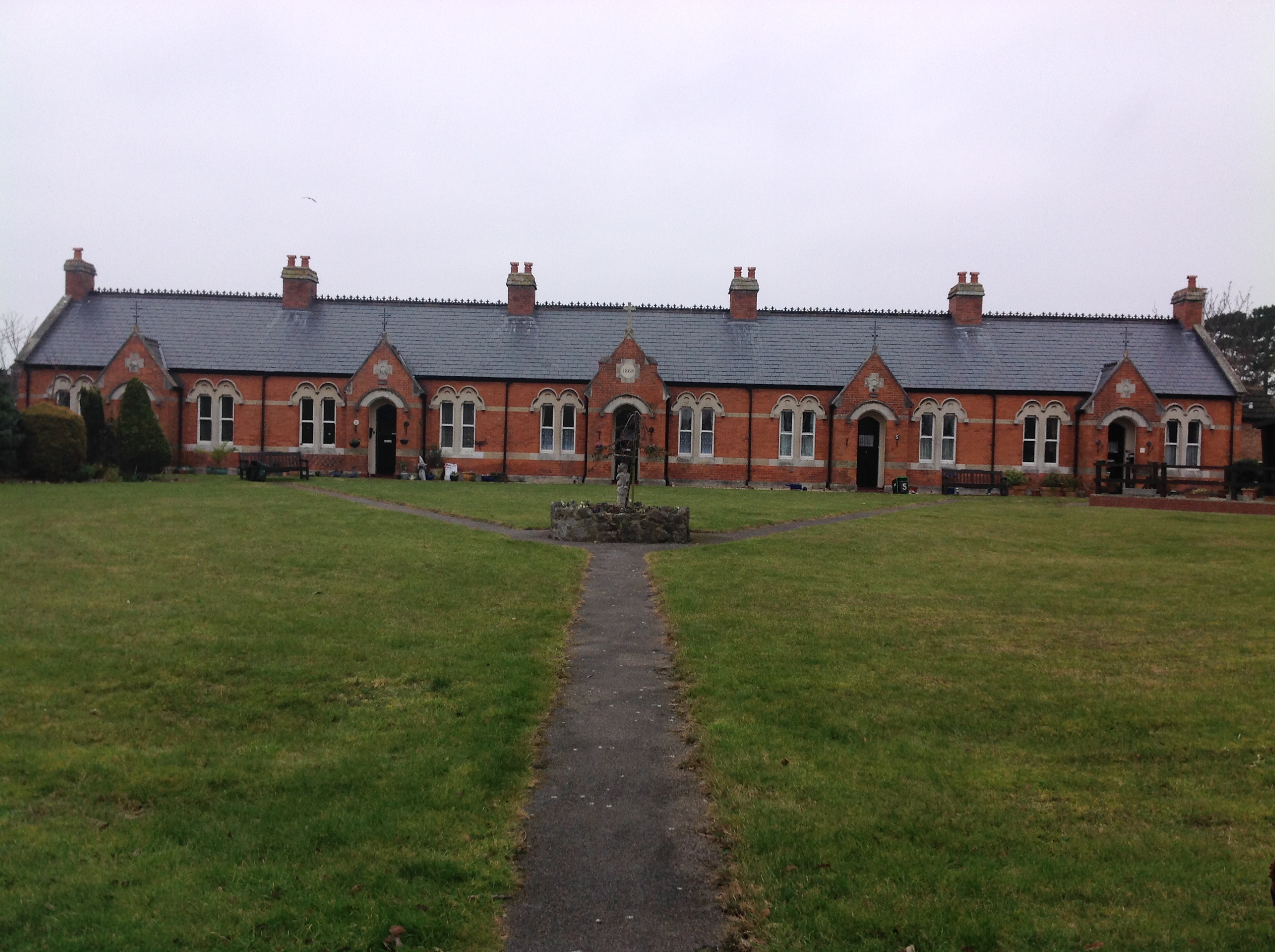 Ellen's Cottages (Almshouses), Burnham-on-Sea, 10/02/2015 |
 Class31 |
Wednesday 11th of February 2015 10:02:44 AM |


