
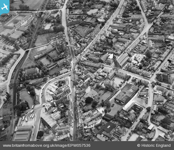
EPW057536 ENGLAND (1938). The town around the junction of High Street and New Road, Stourbridge, 1938
© Hawlfraint cyfranwyr OpenStreetMap a thrwyddedwyd gan yr OpenStreetMap Foundation. 2024. Trwyddedir y gartograffeg fel CC BY-SA.
Delweddau cyfagos (2)
EPW057536

EPW057538

Manylion
| Pennawd | [EPW057536] The town around the junction of High Street and New Road, Stourbridge, 1938 |
| Cyfeirnod | EPW057536 |
| Dyddiad | 9-June-1938 |
| Dolen | |
| Enw lle | STOURBRIDGE |
| Plwyf | |
| Ardal | |
| Gwlad | ENGLAND |
| Dwyreiniad / Gogleddiad | 390301, 284111 |
| Hydred / Lledred | -2.1427444884599, 52.454494151694 |
| Cyfeirnod Grid Cenedlaethol | SO903841 |
Pinnau
 DKH |
Saturday 15th of April 2023 02:09:32 PM | |
DaveS |
Tuesday 13th of March 2018 06:04:55 PM | |
Rovaly |
Friday 1st of July 2016 07:14:19 AM | |
Rovaly |
Friday 1st of July 2016 07:04:22 AM | |
Rovaly |
Friday 1st of July 2016 06:48:24 AM | |
Rovaly |
Friday 1st of July 2016 06:46:19 AM | |
Bentleyboy |
Sunday 6th of April 2014 11:43:52 AM | |
 Maurice |
Friday 27th of December 2013 08:35:54 AM |


