
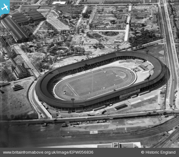
EPW056836 ENGLAND (1938). The White City Stadium, Shepherd's Bush, 1938
© Hawlfraint cyfranwyr OpenStreetMap a thrwyddedwyd gan yr OpenStreetMap Foundation. 2024. Trwyddedir y gartograffeg fel CC BY-SA.
Delweddau cyfagos (48)
EPW053795

EPW056836

EPW031085

EPW022643

EPW022641

EPW054550

EPW022644

EPW031077

EPW031083

EPW031079

EPW022642

EPW031082

EPW031078

EPW053782

EPW046819

EPW042217
, 1933")
EPW054547

EPW036466

EPW042221
, 1933")
EPW053787

EPW054545

EPW036473

EPW021262

EPW022639

EPW054548

EPW042220
, 1933")
EPW036465

EPW036464

EPW036469

EPW036470

EPW031084

EPW054551

EPW019018

EPW042219
, 1933")
EPW031086

EPW054546

EPW021263

EPW054549

EPW062153

EPW031087

EAW005414

EPW042222
, 1933")
EPW042223
, 1933")
EPW031081

EPW053792

EAW005407

EAW005415

EPW005725

Manylion
| Pennawd | [EPW056836] The White City Stadium, Shepherd's Bush, 1938 |
| Cyfeirnod | EPW056836 |
| Dyddiad | 11-April-1938 |
| Dolen | |
| Enw lle | SHEPHERD'S BUSH |
| Plwyf | |
| Ardal | |
| Gwlad | ENGLAND |
| Dwyreiniad / Gogleddiad | 523060, 180860 |
| Hydred / Lledred | -0.22639736329683, 51.512763930955 |
| Cyfeirnod Grid Cenedlaethol | TQ231809 |
Pinnau
 bondi |
Sunday 8th of November 2015 06:07:18 PM |


