
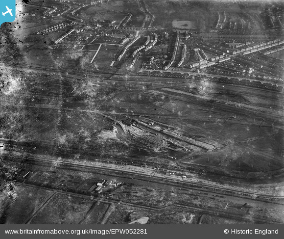
EPW052281 ENGLAND (1936). The site of the William Girling Reservoir showing preliminary construction works, Edmonton, 1936. This image has been produced from a damaged negative.
© Hawlfraint cyfranwyr OpenStreetMap a thrwyddedwyd gan yr OpenStreetMap Foundation. 2024. Trwyddedir y gartograffeg fel CC BY-SA.
Delweddau cyfagos (35)
EPW052281

EPW056317

EPW056327

EPW055983

EPW058463
 Reservoir under construction, Edmonton, from the south, 1938")
EPW056324

EPW060223
 Reservoir under construction, Edmonton, from the south, 1938")
EPW055972

EPW056323

EPW055973

EPW050863

EPW060627

EPW055970

EPW056814

EPW056825

EPW060634

EPW058468
 Reservoir under construction, Edmonton, 1938")
EPW050862

EAW040927

EPW058460
 Reservoir under construction, Edmonton, 1938")
EPW053838
 Reservoir under construction, Edmonton, 1937")
EPW060209
 Reservoir under construction, Edmonton, 1938")
EPW056824

EPW056316

EPW053847
 Reservoir under construction, Edmonton, 1937")
EPW056322

EPW048912

EPW056318

EPW060636

EPW052286

EPW049712

EPW056325

EPW052279

EPW049526

EPW058458
 Reservoir under construction, Edmonton, 1938")
Manylion
| Pennawd | [EPW052281] The site of the William Girling Reservoir showing preliminary construction works, Edmonton, 1936. This image has been produced from a damaged negative. |
| Cyfeirnod | EPW052281 |
| Dyddiad | November-1936 |
| Dolen | |
| Enw lle | EDMONTON |
| Plwyf | |
| Ardal | |
| Gwlad | ENGLAND |
| Dwyreiniad / Gogleddiad | 536449, 193399 |
| Hydred / Lledred | -0.028675512219345, 51.622377757238 |
| Cyfeirnod Grid Cenedlaethol | TQ364934 |
Pinnau
Byddwch y cyntaf i ychwanegu sylw at y ddelwedd hon!


