
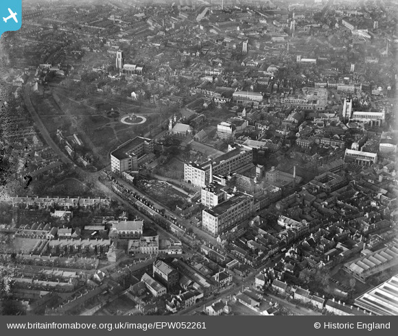
EPW052261 ENGLAND (1936). A.J. Caley and Sons Chapel Field Confectionery Works and environs, Norwich, 1936
© Hawlfraint cyfranwyr OpenStreetMap a thrwyddedwyd gan yr OpenStreetMap Foundation. 2024. Trwyddedir y gartograffeg fel CC BY-SA.
Delweddau cyfagos (13)
EPW052261

EPW052260

EPW021216

EPW052263

EPW052262

EPW021217

EPW039742

EPW001971

EPW021204

EAW002002

EAW001997

EAW002000

EAW037290

Manylion
| Pennawd | [EPW052261] A.J. Caley and Sons Chapel Field Confectionery Works and environs, Norwich, 1936 |
| Cyfeirnod | EPW052261 |
| Dyddiad | November-1936 |
| Dolen | |
| Enw lle | NORWICH |
| Plwyf | |
| Ardal | |
| Gwlad | ENGLAND |
| Dwyreiniad / Gogleddiad | 622727, 308257 |
| Hydred / Lledred | 1.2912418493919, 52.625946143613 |
| Cyfeirnod Grid Cenedlaethol | TG227083 |
Pinnau
 Chris Lambert |
Sunday 12th of April 2015 05:54:40 PM | |
Chris Lambert |
Sunday 12th of April 2015 05:53:03 PM | |
Chris Lambert |
Sunday 12th of April 2015 05:51:51 PM | |
Chris Lambert |
Sunday 12th of April 2015 05:49:54 PM | |
Chris Lambert |
Sunday 12th of April 2015 05:48:29 PM | |
Chris Lambert |
Sunday 12th of April 2015 05:47:17 PM | |
Chris Lambert |
Sunday 12th of April 2015 05:46:21 PM | |
Chris Lambert |
Sunday 12th of April 2015 05:45:11 PM | |
Chris Lambert |
Sunday 12th of April 2015 05:44:11 PM | |
Chris Lambert |
Sunday 12th of April 2015 05:43:02 PM | |
bugbear |
Monday 19th of August 2013 11:14:27 AM | |
bugbear |
Monday 19th of August 2013 11:09:47 AM | |
bugbear |
Monday 19th of August 2013 11:08:42 AM |


