
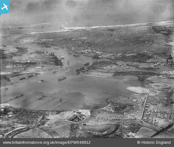
EPW048812 ENGLAND (1935). Jarrow Slake and environs, Jarrow, from the south-west, 1935
© Hawlfraint cyfranwyr OpenStreetMap a thrwyddedwyd gan yr OpenStreetMap Foundation. 2024. Trwyddedir y gartograffeg fel CC BY-SA.
Delweddau cyfagos (3)
EPW048812

EPW048221

EPW048220

Manylion
| Pennawd | [EPW048812] Jarrow Slake and environs, Jarrow, from the south-west, 1935 |
| Cyfeirnod | EPW048812 |
| Dyddiad | August-1935 |
| Dolen | |
| Enw lle | JARROW |
| Plwyf | |
| Ardal | |
| Gwlad | ENGLAND |
| Dwyreiniad / Gogleddiad | 434335, 565402 |
| Hydred / Lledred | -1.4634378428398, 54.981960092913 |
| Cyfeirnod Grid Cenedlaethol | NZ343654 |
Pinnau
 N Dunn |
Sunday 30th of March 2014 09:56:52 AM | |
N Dunn |
Sunday 15th of September 2013 10:04:31 AM | |
 |
N Dunn |
Sunday 15th of September 2013 10:02:05 AM |
 |
N Dunn |
Sunday 15th of September 2013 09:58:22 AM |
 Dylan Moore |
Sunday 5th of May 2013 05:08:16 PM |


