
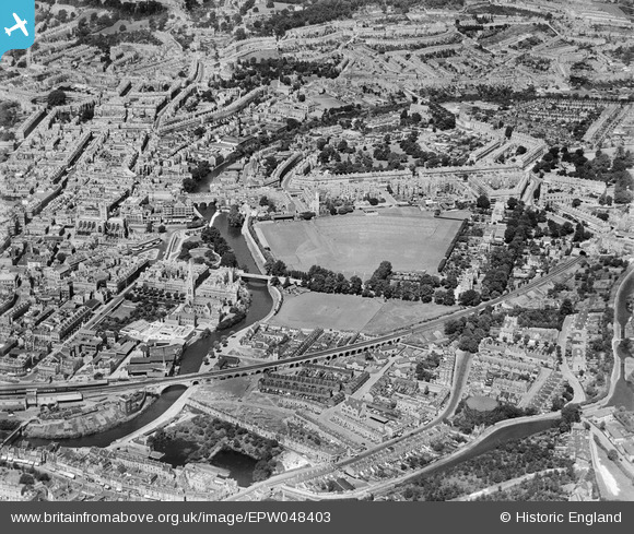
EPW048403 ENGLAND (1935). Bath and County Recreation Ground, the Cricket Ground and environs, Bath, 1935
© Hawlfraint cyfranwyr OpenStreetMap a thrwyddedwyd gan yr OpenStreetMap Foundation. 2024. Trwyddedir y gartograffeg fel CC BY-SA.
Delweddau cyfagos (19)
EPW048403

EAW026450

EAW023885

EAW049898

EPW048380

EAW049901

EPW001957

EAW049899

EPW048402

EPW048377

EPW001950

EAW023882

EAW023884

EAW000755

EAW049900

EAW000754

EAW000757

EAW000758

EAW000756

Manylion
| Pennawd | [EPW048403] Bath and County Recreation Ground, the Cricket Ground and environs, Bath, 1935 |
| Cyfeirnod | EPW048403 |
| Dyddiad | July-1935 |
| Dolen | |
| Enw lle | BATH |
| Plwyf | |
| Ardal | |
| Gwlad | ENGLAND |
| Dwyreiniad / Gogleddiad | 375414, 164795 |
| Hydred / Lledred | -2.3533165757987, 51.381174135585 |
| Cyfeirnod Grid Cenedlaethol | ST754648 |
Pinnau


Cyfraniadau Grŵp
 Bath Abbey |
 Class31 |
Monday 11th of November 2013 09:37:41 AM |


