
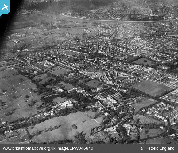
EPW046840 ENGLAND (1935). Grove House and the surrounding residential area, Roehampton, 1935
© Hawlfraint cyfranwyr OpenStreetMap a thrwyddedwyd gan yr OpenStreetMap Foundation. 2024. Trwyddedir y gartograffeg fel CC BY-SA.
Delweddau cyfagos (5)
EPW046840

EPW046844

EPW046849

EPW046845

EPW046841

Manylion
| Pennawd | [EPW046840] Grove House and the surrounding residential area, Roehampton, 1935 |
| Cyfeirnod | EPW046840 |
| Dyddiad | April-1935 |
| Dolen | |
| Enw lle | ROEHAMPTON |
| Plwyf | |
| Ardal | |
| Gwlad | ENGLAND |
| Dwyreiniad / Gogleddiad | 522377, 174751 |
| Hydred / Lledred | -0.23835384681941, 51.458002972647 |
| Cyfeirnod Grid Cenedlaethol | TQ224748 |
Pinnau
 David |
Friday 3rd of April 2015 11:28:36 AM | |
John |
Monday 6th of October 2014 06:32:11 PM | |
John |
Monday 6th of October 2014 06:31:21 PM | |
John |
Monday 6th of October 2014 06:30:33 PM | |
John |
Monday 6th of October 2014 06:29:12 PM |


