
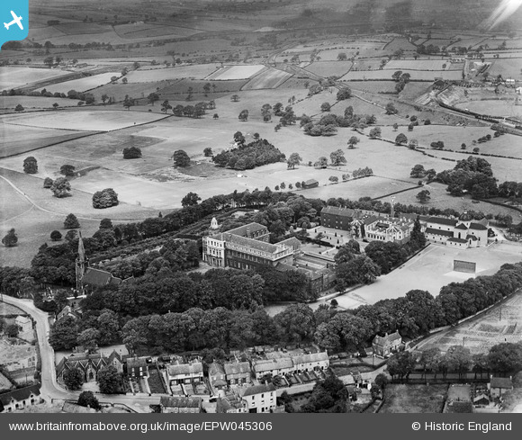
EPW045306 ENGLAND (1934). Mount St Mary's College and surrounding countryside, Spinkhill, 1934
© Hawlfraint cyfranwyr OpenStreetMap a thrwyddedwyd gan yr OpenStreetMap Foundation. 2024. Trwyddedir y gartograffeg fel CC BY-SA.
Delweddau cyfagos (6)
EPW045306

EPW045304

EPW045303

EPW045307

EPW045308

EPW045305

Manylion
| Pennawd | [EPW045306] Mount St Mary's College and surrounding countryside, Spinkhill, 1934 |
| Cyfeirnod | EPW045306 |
| Dyddiad | July-1934 |
| Dolen | |
| Enw lle | SPINKHILL |
| Plwyf | ECKINGTON |
| Ardal | |
| Gwlad | ENGLAND |
| Dwyreiniad / Gogleddiad | 445405, 378823 |
| Hydred / Lledred | -1.3185601048164, 53.304132682221 |
| Cyfeirnod Grid Cenedlaethol | SK454788 |
Pinnau
 Dr AP Newman |
Sunday 10th of January 2016 02:14:32 PM | |
Dr AP Newman |
Sunday 10th of January 2016 02:12:14 PM | |
Dr AP Newman |
Sunday 10th of January 2016 02:11:08 PM | |
Dr AP Newman |
Sunday 10th of January 2016 01:49:28 PM |


