
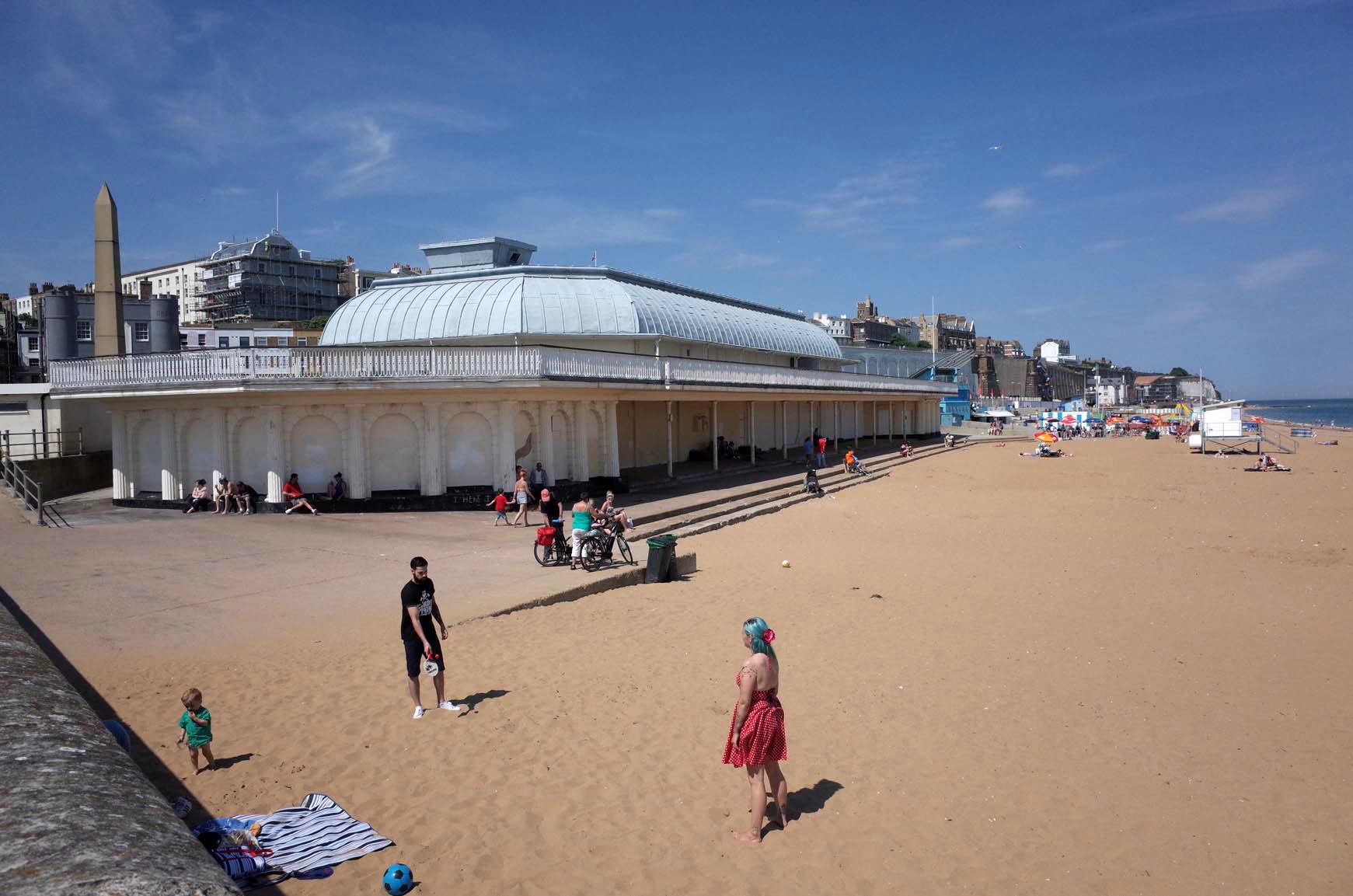
EPW042862 ENGLAND (1933). The Royal Harbour and the town, Ramsgate, from the south, 1933

© Hawlfraint cyfranwyr OpenStreetMap a thrwyddedwyd gan yr OpenStreetMap Foundation. 2024. Trwyddedir y gartograffeg fel CC BY-SA.
Delweddau cyfagos (16)
EPW042862

EPW000595

EPW000375

EAW008997

EPW000380

EAW008998

EAW020487

EAW020488

EAW008999

EAW009010

EPW039354

EAW006626

EAW009008

EAW696658

EAW017589

EPW048858

Manylion
| Pennawd | [EPW042862] The Royal Harbour and the town, Ramsgate, from the south, 1933 |
| Cyfeirnod | EPW042862 |
| Dyddiad | August-1933 |
| Dolen | |
| Enw lle | RAMSGATE |
| Plwyf | RAMSGATE |
| Ardal | |
| Gwlad | ENGLAND |
| Dwyreiniad / Gogleddiad | 638409, 164278 |
| Hydred / Lledred | 1.4224948226605, 51.32703866686 |
| Cyfeirnod Grid Cenedlaethol | TR384643 |
Pinnau
 Alan McFaden |
Tuesday 14th of October 2014 10:20:22 AM |

Cyfraniadau Grŵp
 George 1V Monument |
Alan McFaden |
Tuesday 14th of October 2014 10:22:26 AM |
 Albion Place Gardens |
Alan McFaden |
Tuesday 14th of October 2014 10:21:58 AM |
 Wellington Cresent Area |
Alan McFaden |
Tuesday 14th of October 2014 10:21:34 AM |
 Ramsgate Harbour |
Alan McFaden |
Tuesday 14th of October 2014 10:21:08 AM |
 Ramsgate Beach |
Alan McFaden |
Tuesday 14th of October 2014 10:20:47 AM |


