
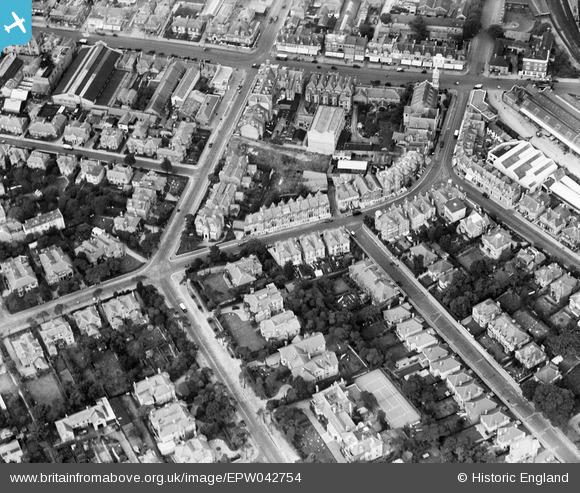
EPW042754 ENGLAND (1933). St Swithun's Road and environs, Bournemouth, 1933
© Hawlfraint cyfranwyr OpenStreetMap a thrwyddedwyd gan yr OpenStreetMap Foundation. 2024. Trwyddedir y gartograffeg fel CC BY-SA.
Delweddau cyfagos (13)
EPW042754

EPW042756

EPW042876

EPW042874

EPW046186

EPW042757

EPW042753

EPW042751

EPW042758

EPW042755

EPW042752

EPW042875

EPW042873

Manylion
| Pennawd | [EPW042754] St Swithun's Road and environs, Bournemouth, 1933 |
| Cyfeirnod | EPW042754 |
| Dyddiad | August-1933 |
| Dolen | |
| Enw lle | BOURNEMOUTH |
| Plwyf | |
| Ardal | |
| Gwlad | ENGLAND |
| Dwyreiniad / Gogleddiad | 409897, 91691 |
| Hydred / Lledred | -1.8597722122686, 50.724183888874 |
| Cyfeirnod Grid Cenedlaethol | SZ099917 |
Pinnau
 ash |
Thursday 12th of June 2014 08:51:41 AM | |
 Peter Kazmierczak |
Sunday 15th of September 2013 04:09:50 PM | |
Peter Kazmierczak |
Sunday 15th of September 2013 04:08:29 PM | |
Peter Kazmierczak |
Sunday 15th of September 2013 04:07:18 PM | |
Peter Kazmierczak |
Sunday 15th of September 2013 04:06:40 PM | |
Peter Kazmierczak |
Sunday 15th of September 2013 04:05:56 PM | |
Peter Kazmierczak |
Sunday 15th of September 2013 04:05:13 PM | |
Peter Kazmierczak |
Sunday 15th of September 2013 04:03:41 PM | |
Peter Kazmierczak |
Sunday 15th of September 2013 04:02:54 PM |


