
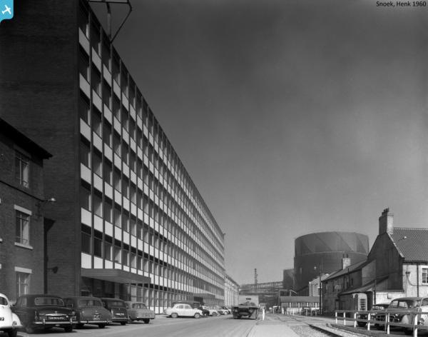
EPW038889 ENGLAND (1932). The ICI Works and adjacent housing estate, Billingham, from the south-east, 1932

© Hawlfraint cyfranwyr OpenStreetMap a thrwyddedwyd gan yr OpenStreetMap Foundation. 2024. Trwyddedir y gartograffeg fel CC BY-SA.
Delweddau cyfagos (11)
EPW038889

EPW032716

EPW032185

EAW024048

EAW024044

EAW024043

EAW024039

EAW024042

EPW032745

EAW024037

EPW032729

Manylion
| Pennawd | [EPW038889] The ICI Works and adjacent housing estate, Billingham, from the south-east, 1932 |
| Cyfeirnod | EPW038889 |
| Dyddiad | July-1932 |
| Dolen | |
| Enw lle | BILLINGHAM |
| Plwyf | BILLINGHAM |
| Ardal | |
| Gwlad | ENGLAND |
| Dwyreiniad / Gogleddiad | 446965, 522456 |
| Hydred / Lledred | -1.2730378067541, 54.594982220428 |
| Cyfeirnod Grid Cenedlaethol | NZ470225 |
Pinnau
 J May |
Wednesday 21st of June 2017 07:17:37 PM | |
J May |
Wednesday 21st of June 2017 07:16:49 PM | |
 |
J May |
Wednesday 21st of June 2017 07:14:34 PM |


