
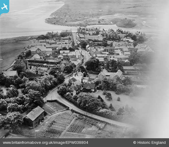
EPW038804 ENGLAND (1932). The village, Alnmouth, 1932
© Hawlfraint cyfranwyr OpenStreetMap a thrwyddedwyd gan yr OpenStreetMap Foundation. 2024. Trwyddedir y gartograffeg fel CC BY-SA.
Delweddau cyfagos (3)
EPW038804

EAW041296

EAW041297

Manylion
| Pennawd | [EPW038804] The village, Alnmouth, 1932 |
| Cyfeirnod | EPW038804 |
| Dyddiad | June-1932 |
| Dolen | |
| Enw lle | ALNMOUTH |
| Plwyf | ALNMOUTH |
| Ardal | |
| Gwlad | ENGLAND |
| Dwyreiniad / Gogleddiad | 424606, 610661 |
| Hydred / Lledred | -1.6115339328077, 55.389266528896 |
| Cyfeirnod Grid Cenedlaethol | NU246107 |
Pinnau
 Phil Thirkell |
Wednesday 15th of April 2015 07:47:52 AM | |
 melgibbs |
Thursday 27th of June 2013 07:03:07 PM | |
melgibbs |
Thursday 27th of June 2013 07:00:34 PM |
Cyfraniadau Grŵp
 The attached photo was taken in October 2009 from the hill overlooking the golf course with Coquet Island in the distance. |
melgibbs |
Thursday 27th of June 2013 07:10:14 PM |


