
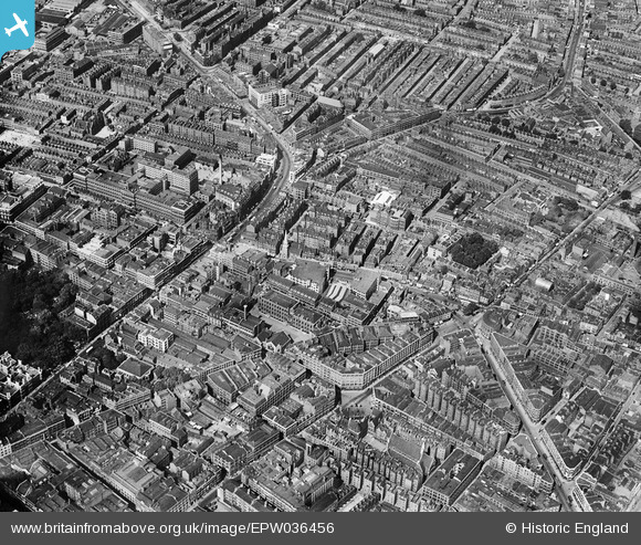
EPW036456 ENGLAND (1931). St Luke's Hospital, St Mark's Church and Tabernacle Square, Hoxton, 1931
© Hawlfraint cyfranwyr OpenStreetMap a thrwyddedwyd gan yr OpenStreetMap Foundation. 2024. Trwyddedir y gartograffeg fel CC BY-SA.
Delweddau cyfagos (8)
EPW036456

EPW036453

EPW036451

EPW036452

EAW011073

EAW011122

EAW011121

EAW011074

Manylion
| Pennawd | [EPW036456] St Luke's Hospital, St Mark's Church and Tabernacle Square, Hoxton, 1931 |
| Cyfeirnod | EPW036456 |
| Dyddiad | August-1931 |
| Dolen | |
| Enw lle | HOXTON |
| Plwyf | |
| Ardal | |
| Gwlad | ENGLAND |
| Dwyreiniad / Gogleddiad | 532852, 182526 |
| Hydred / Lledred | -0.084723630824057, 51.525519037983 |
| Cyfeirnod Grid Cenedlaethol | TQ329825 |
Pinnau
 pitfieldkid |
Wednesday 5th of April 2023 04:18:55 PM | |
Paul Nixon |
Wednesday 22nd of June 2016 04:34:06 PM | |
Paul Nixon |
Wednesday 22nd of June 2016 04:33:35 PM | |
 Class31 |
Friday 15th of May 2015 07:32:09 AM | |
billyfern |
Sunday 29th of June 2014 03:56:57 PM | |
billyfern |
Sunday 29th of June 2014 03:53:15 PM | |
billyfern |
Sunday 29th of June 2014 03:52:44 PM | |
billyfern |
Sunday 29th of June 2014 03:51:44 PM | |
billyfern |
Sunday 29th of June 2014 03:50:15 PM | |
billyfern |
Sunday 29th of June 2014 03:49:39 PM | |
billyfern |
Sunday 29th of June 2014 03:48:35 PM | |
billyfern |
Sunday 29th of June 2014 03:48:06 PM | |
billyfern |
Sunday 29th of June 2014 03:47:32 PM | |
billyfern |
Sunday 29th of June 2014 03:45:55 PM | |
billyfern |
Sunday 29th of June 2014 03:44:54 PM | |
LondonerN1 |
Tuesday 10th of December 2013 06:46:56 PM | |
LondonerN1 |
Tuesday 10th of December 2013 06:41:51 PM | |
LondonerN1 |
Tuesday 10th of December 2013 06:39:20 PM | |
LondonerN1 |
Tuesday 10th of December 2013 06:27:09 PM | |
Class31 |
Thursday 15th of August 2013 12:23:43 PM | |
Class31 |
Thursday 15th of August 2013 12:15:35 PM | |
Class31 |
Thursday 15th of August 2013 12:10:16 PM | |
Class31 |
Thursday 15th of August 2013 12:07:31 PM |

Cyfraniadau Grŵp
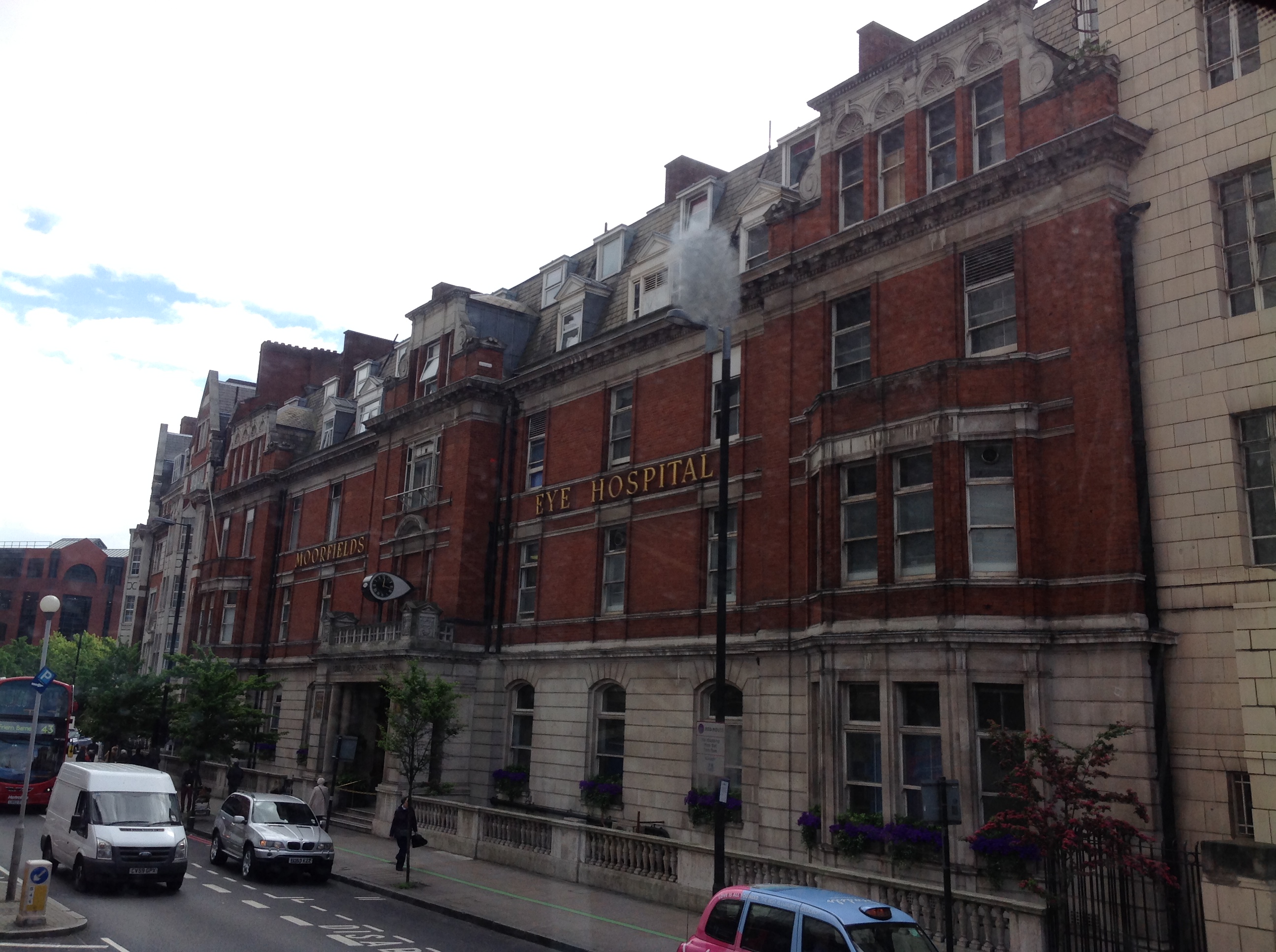 Moorfields Eye Hospital 07/05/2014 |
Class31 |
Friday 15th of May 2015 07:34:30 AM |
 Moorfields Eye Hospital 07/05/2014 |
Class31 |
Friday 15th of May 2015 07:34:10 AM |
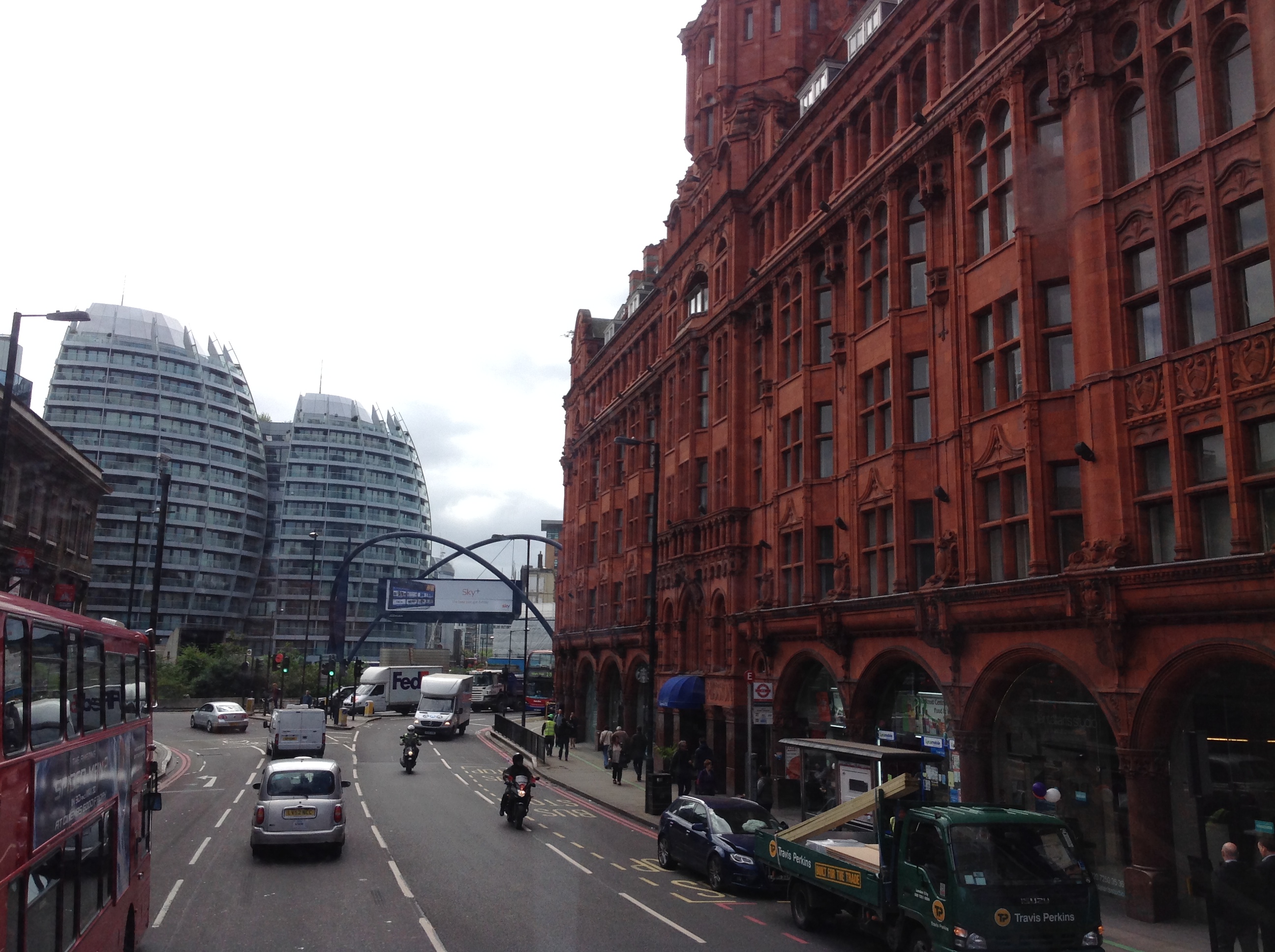
 A5201, Old Street looking east, 07/05/2014 |
Class31 |
Friday 15th of May 2015 07:33:17 AM |
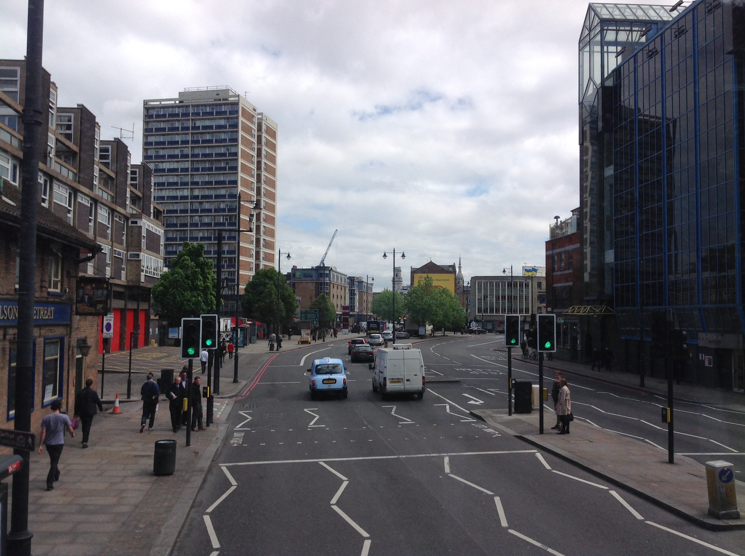
 Tube cars at a height in Great Eastern Street 14/08/2013 probably located out of shot in the original photograph to the south east. |
Class31 |
Thursday 15th of August 2013 12:13:50 PM |


