
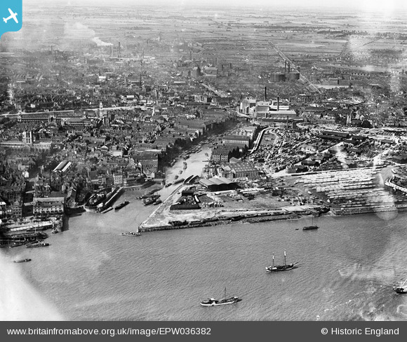
EPW036382 ENGLAND (1931). The Old Harbour, Garrison Side and the city, Kingston upon Hull, 1931
© Hawlfraint cyfranwyr OpenStreetMap a thrwyddedwyd gan yr OpenStreetMap Foundation. 2024. Trwyddedir y gartograffeg fel CC BY-SA.
Delweddau cyfagos (9)
EPW036382

EPW036507

EAW015658

EAW015645

EPW036502

EAW015638

EPW036561

EAW015644

EAW028625

Manylion
| Pennawd | [EPW036382] The Old Harbour, Garrison Side and the city, Kingston upon Hull, 1931 |
| Cyfeirnod | EPW036382 |
| Dyddiad | August-1931 |
| Dolen | |
| Enw lle | KINGSTON UPON HULL |
| Plwyf | |
| Ardal | |
| Gwlad | ENGLAND |
| Dwyreiniad / Gogleddiad | 510245, 428504 |
| Hydred / Lledred | -0.32826741528684, 53.741023113237 |
| Cyfeirnod Grid Cenedlaethol | TA102285 |
Pinnau
 John Wass |
Monday 3rd of July 2017 03:29:44 PM | |
John Wass |
Monday 3rd of July 2017 03:27:38 PM | |
John Wass |
Monday 3rd of July 2017 03:25:01 PM | |
John Wass |
Monday 3rd of July 2017 03:23:59 PM | |
John Wass |
Monday 3rd of July 2017 03:23:19 PM | |
John Wass |
Monday 3rd of July 2017 03:21:33 PM | |
John Wass |
Monday 3rd of July 2017 03:20:53 PM | |
John Wass |
Monday 3rd of July 2017 03:19:49 PM | |
John Wass |
Monday 3rd of July 2017 03:18:43 PM | |
MB |
Wednesday 26th of December 2012 10:00:39 AM | |
I think you will find the sign says "Beecroft & Wightman". They were most definitely timber merchants! |
John Wass |
Saturday 22nd of August 2015 10:45:07 AM |
MB |
Wednesday 26th of December 2012 09:48:27 AM | |
MB |
Wednesday 26th of December 2012 09:48:06 AM |


