
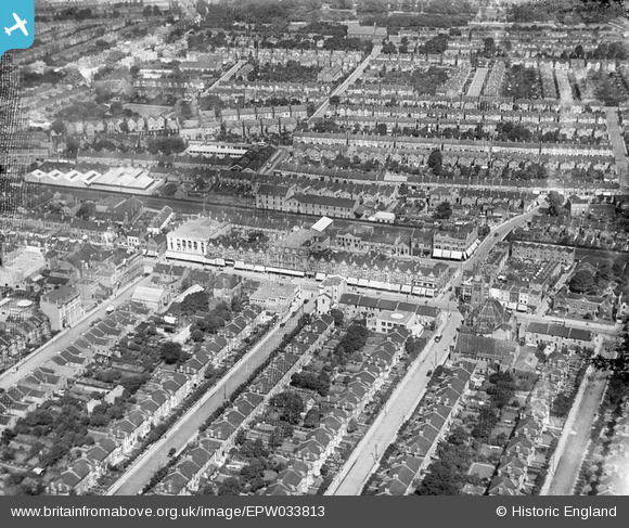
EPW033813 ENGLAND (1930). High Road and environs, Ilford, 1930
© Hawlfraint cyfranwyr OpenStreetMap a thrwyddedwyd gan yr OpenStreetMap Foundation. 2024. Trwyddedir y gartograffeg fel CC BY-SA.
Delweddau cyfagos (7)
EPW033813

EPW033817

EPW033812

EPW033811

EPW033816

EPW033815

EPW033814

Manylion
| Pennawd | [EPW033813] High Road and environs, Ilford, 1930 |
| Cyfeirnod | EPW033813 |
| Dyddiad | July-1930 |
| Dolen | |
| Enw lle | ILFORD |
| Plwyf | |
| Ardal | |
| Gwlad | ENGLAND |
| Dwyreiniad / Gogleddiad | 543949, 186572 |
| Hydred / Lledred | 0.076804089955957, 51.559158657195 |
| Cyfeirnod Grid Cenedlaethol | TQ439866 |
Pinnau
 Hermann the German |
Wednesday 17th of October 2018 09:03:46 PM | |
Hermann the German |
Wednesday 17th of October 2018 08:57:18 PM | |
Hermann the German |
Wednesday 17th of October 2018 08:56:35 PM | |
Dennis Jackson |
Thursday 23rd of June 2016 04:41:48 PM | |
Dennis Jackson |
Thursday 23rd of June 2016 04:39:56 PM | |
Dennis Jackson |
Thursday 23rd of June 2016 04:39:08 PM |


