
EPW033212 ENGLAND (1930). Nunney Castle and All Saints' Church, Nunney, 1930

© Hawlfraint cyfranwyr OpenStreetMap a thrwyddedwyd gan yr OpenStreetMap Foundation. 2024. Trwyddedir y gartograffeg fel CC BY-SA.
Delweddau cyfagos (10)
EPW033212

EAW005127

EAW005126

EAW005128

EAW015769

EAW005125

EPW033213

EAW015768

EAW015770

EAW015767

Manylion
| Pennawd | [EPW033212] Nunney Castle and All Saints' Church, Nunney, 1930 |
| Cyfeirnod | EPW033212 |
| Dyddiad | July-1930 |
| Dolen | |
| Enw lle | NUNNEY |
| Plwyf | NUNNEY |
| Ardal | |
| Gwlad | ENGLAND |
| Dwyreiniad / Gogleddiad | 373679, 145734 |
| Hydred / Lledred | -2.3768431506907, 51.209687862419 |
| Cyfeirnod Grid Cenedlaethol | ST737457 |
Pinnau
Byddwch y cyntaf i ychwanegu sylw at y ddelwedd hon!
Cyfraniadau Grŵp
 All Saints' Church, Nunney, 22/06/2014 |
 Class31 |
Sunday 29th of June 2014 04:55:07 PM |
 Nunney Castle, 22/06/2014 |
Class31 |
Sunday 29th of June 2014 04:52:00 PM |
 Nunney, 22/06/2014 |
Class31 |
Sunday 29th of June 2014 04:49:26 PM |
http://www.english-heritage.org.uk/daysout/properties/nunney-castle/history-and-research/ Brought into guardianship in 1926, the ensuing works are clear in this shot. I find the buildings along the streets confusing, though - the position of the castle is odd and its bounds are not clear. It makes me want to learn more about the history of the place, seeing it from the air like this. Katy |
Katy Whitaker |
Thursday 19th of December 2013 09:10:27 PM |
The url in this comment seems to have been curtailed. |
 totoro |
Thursday 19th of December 2013 09:10:27 PM |
 Nunney Castle from All Saints Churchyard 17/12/2013 |
Class31 |
Tuesday 17th of December 2013 03:45:42 PM |
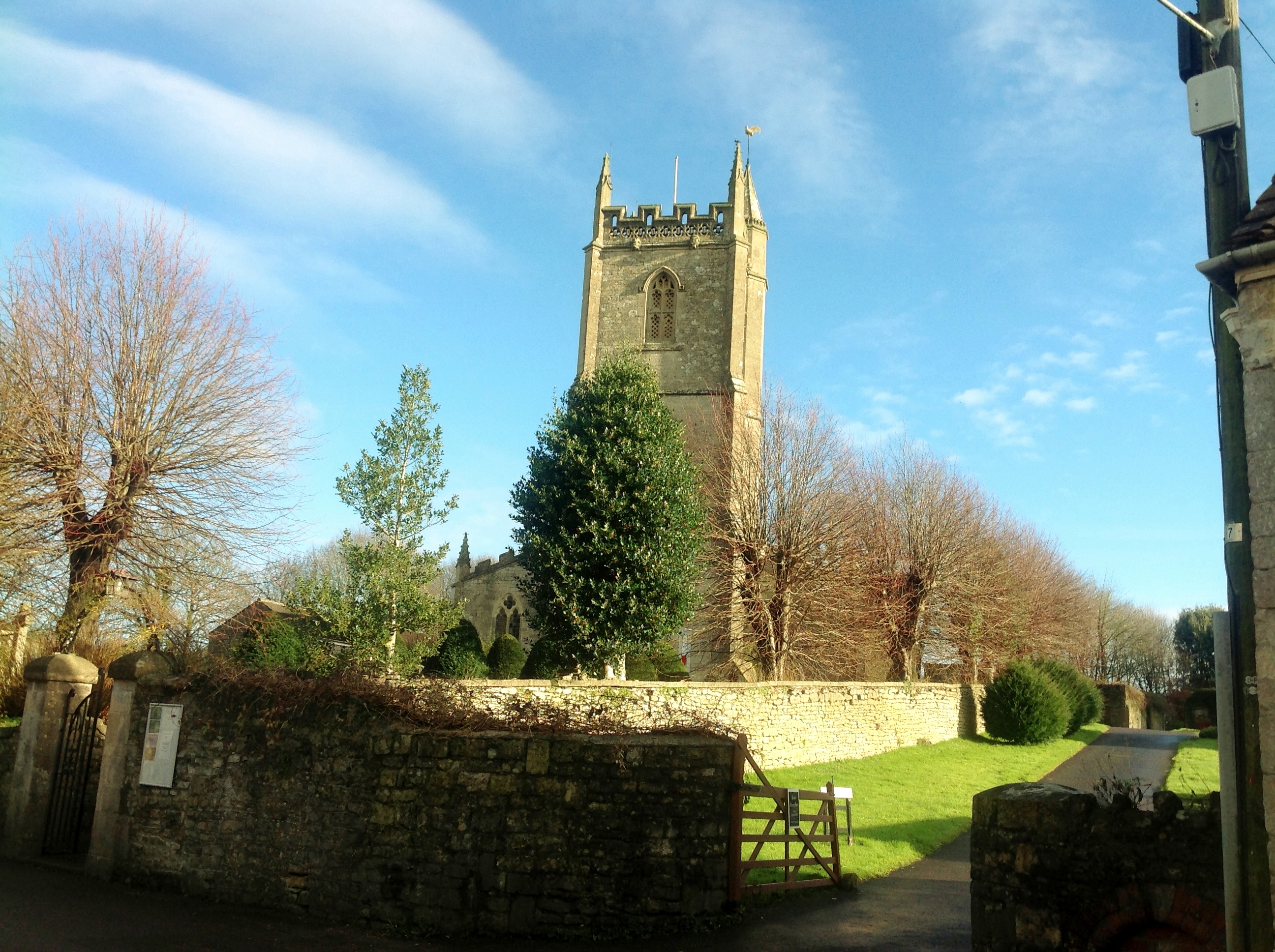 All Saints Church 17/12/2013 |
Class31 |
Tuesday 17th of December 2013 03:44:16 PM |
 Nunney Castle on 17/12/2013 |
Class31 |
Tuesday 17th of December 2013 03:43:06 PM |


