
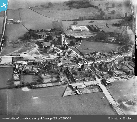
EPW026058 ENGLAND (1929). St Peter and St Paul's Church and environs, Charing, 1929
© Hawlfraint cyfranwyr OpenStreetMap a thrwyddedwyd gan yr OpenStreetMap Foundation. 2024. Trwyddedir y gartograffeg fel CC BY-SA.
Delweddau cyfagos (5)
EPW026058

EPW038124

EPW038123

EPW026057

EPW038125

Manylion
| Pennawd | [EPW026058] St Peter and St Paul's Church and environs, Charing, 1929 |
| Cyfeirnod | EPW026058 |
| Dyddiad | April-1929 |
| Dolen | |
| Enw lle | CHARING |
| Plwyf | CHARING |
| Ardal | |
| Gwlad | ENGLAND |
| Dwyreiniad / Gogleddiad | 595352, 149446 |
| Hydred / Lledred | 0.7971619618786, 51.210239386894 |
| Cyfeirnod Grid Cenedlaethol | TQ954494 |
Pinnau
 Kent Navigator |
Friday 20th of October 2017 06:10:18 PM | |
Catman |
Friday 4th of November 2016 12:30:16 PM | |
Catman |
Friday 4th of November 2016 12:28:11 PM |


