
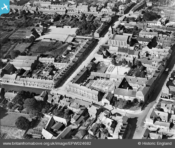
EPW024682 ENGLAND (1928). St James Street, Daventry, 1928
© Hawlfraint cyfranwyr OpenStreetMap a thrwyddedwyd gan yr OpenStreetMap Foundation. 2024. Trwyddedir y gartograffeg fel CC BY-SA.
Delweddau cyfagos (3)
EPW024682

EPW024685

EPW035782

Manylion
| Pennawd | [EPW024682] St James Street, Daventry, 1928 |
| Cyfeirnod | EPW024682 |
| Dyddiad | September-1928 |
| Dolen | |
| Enw lle | DAVENTRY |
| Plwyf | DAVENTRY |
| Ardal | |
| Gwlad | ENGLAND |
| Dwyreiniad / Gogleddiad | 457167, 262317 |
| Hydred / Lledred | -1.1624080748779, 52.255655158805 |
| Cyfeirnod Grid Cenedlaethol | SP572623 |
Pinnau
 Willow |
Wednesday 25th of November 2015 02:51:18 PM | |
Willow |
Wednesday 25th of November 2015 02:47:12 PM | |
Willow |
Wednesday 25th of November 2015 02:45:09 PM | |
Willow |
Wednesday 25th of November 2015 02:44:19 PM | |
Philip |
Wednesday 19th of November 2014 09:35:00 PM | |
Philip |
Wednesday 19th of November 2014 09:33:53 PM |


