
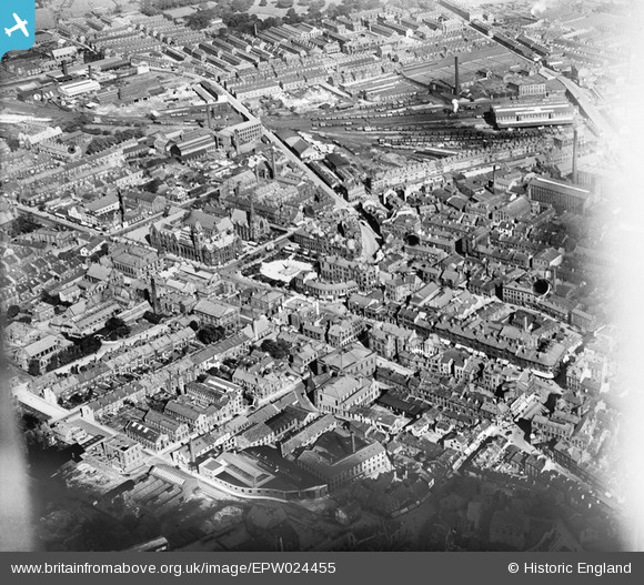
EPW024455 ENGLAND (1928). The town centre, Keighley, 1928
© Hawlfraint cyfranwyr OpenStreetMap a thrwyddedwyd gan yr OpenStreetMap Foundation. 2024. Trwyddedir y gartograffeg fel CC BY-SA.
Delweddau cyfagos (4)
EPW024455

EPW024373

EPW024456

EPW024458

Manylion
| Pennawd | [EPW024455] The town centre, Keighley, 1928 |
| Cyfeirnod | EPW024455 |
| Dyddiad | September-1928 |
| Dolen | |
| Enw lle | KEIGHLEY |
| Plwyf | KEIGHLEY |
| Ardal | |
| Gwlad | ENGLAND |
| Dwyreiniad / Gogleddiad | 406075, 441272 |
| Hydred / Lledred | -1.9076063888881, 53.867418165605 |
| Cyfeirnod Grid Cenedlaethol | SE061413 |


