
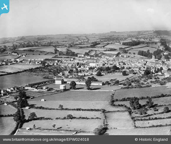
EPW024018 ENGLAND (1928). The town and Webbing Factory, Crewkerne, from the east, 1928
© Hawlfraint cyfranwyr OpenStreetMap a thrwyddedwyd gan yr OpenStreetMap Foundation. 2024. Trwyddedir y gartograffeg fel CC BY-SA.
Delweddau cyfagos (2)
EPW024018

EPW024017

Manylion
| Pennawd | [EPW024018] The town and Webbing Factory, Crewkerne, from the east, 1928 |
| Cyfeirnod | EPW024018 |
| Dyddiad | September-1928 |
| Dolen | |
| Enw lle | CREWKERNE |
| Plwyf | CREWKERNE |
| Ardal | |
| Gwlad | ENGLAND |
| Dwyreiniad / Gogleddiad | 344726, 109630 |
| Hydred / Lledred | -2.785825208306, 50.88295906206 |
| Cyfeirnod Grid Cenedlaethol | ST447096 |


