
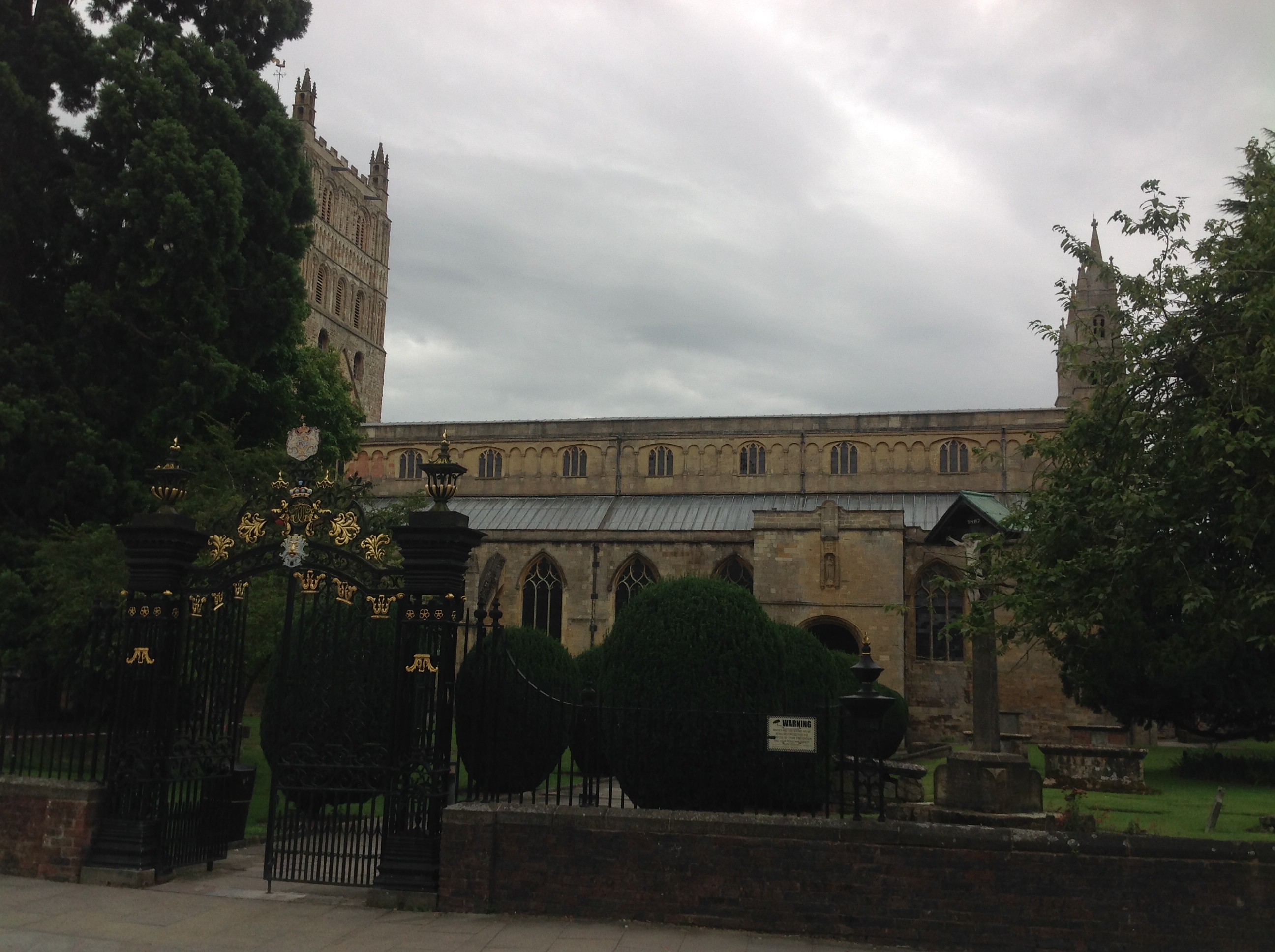
EPW023940 ENGLAND (1928). St Mary's Abbey, Tewkesbury, 1928

© Hawlfraint cyfranwyr OpenStreetMap a thrwyddedwyd gan yr OpenStreetMap Foundation. 2024. Trwyddedir y gartograffeg fel CC BY-SA.
Delweddau cyfagos (14)
EPW023940

EPW023937

EPW000180

EPW023946

EPW000182

EPW000181

EPW023934

EAW006888

EAW049071

EPW023944

EPW023938

EAW006887

EAW049069

EPW023945

Manylion
| Pennawd | [EPW023940] St Mary's Abbey, Tewkesbury, 1928 |
| Cyfeirnod | EPW023940 |
| Dyddiad | September-1928 |
| Dolen | |
| Enw lle | TEWKESBURY |
| Plwyf | TEWKESBURY |
| Ardal | |
| Gwlad | ENGLAND |
| Dwyreiniad / Gogleddiad | 389058, 232444 |
| Hydred / Lledred | -2.1593664882898, 51.98991376558 |
| Cyfeirnod Grid Cenedlaethol | SO891324 |
Pinnau
 Class31 |
Saturday 16th of August 2014 08:24:23 AM | |
 melgibbs |
Tuesday 7th of January 2014 04:20:26 PM | |
Class31 |
Friday 9th of November 2012 08:03:51 PM | |
There are details on this memorial at www.ukniwm.org.uk/server/show/conMemorial.20979/fromUkniwmSearch/1, but unfortunately no names of the soldiers. |
melgibbs |
Tuesday 7th of January 2014 04:19:07 PM |

Cyfraniadau Grŵp
 St. Mary's Abbey Church, Tewkesbury, 09/08/2014 |
Class31 |
Saturday 16th of August 2014 08:25:19 AM |
The abbey was well sited. It is on slightly higher ground than its surroundings, so that when the river Severn has a major flood, the church stands above the floodwaters |
 MB |
Friday 9th of November 2012 06:25:15 PM |


