
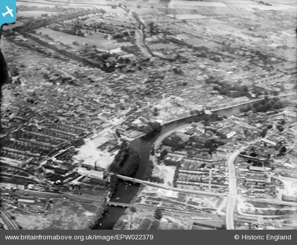
EPW022379 ENGLAND (1928). The town centre, Bedford, 1928
© Hawlfraint cyfranwyr OpenStreetMap a thrwyddedwyd gan yr OpenStreetMap Foundation. 2024. Trwyddedir y gartograffeg fel CC BY-SA.
Delweddau cyfagos (14)
EPW022379

EAW049227

EPW022383

EPW022382

EPW022388

EPW026465

EPW026472

EAW049226

EPW045603

EPW026461

EAW003718

EPW022393

EPW022386

EPW022391

Manylion
| Pennawd | [EPW022379] The town centre, Bedford, 1928 |
| Cyfeirnod | EPW022379 |
| Dyddiad | 9-August-1928 |
| Dolen | |
| Enw lle | BEDFORD |
| Plwyf | |
| Ardal | |
| Gwlad | ENGLAND |
| Dwyreiniad / Gogleddiad | 504853, 249591 |
| Hydred / Lledred | -0.46787704140672, 52.134248827534 |
| Cyfeirnod Grid Cenedlaethol | TL049496 |
Pinnau
 Class31 |
Wednesday 4th of June 2014 09:46:02 AM | |
 melgibbs |
Tuesday 14th of January 2014 08:42:06 PM | |
melgibbs |
Sunday 21st of October 2012 10:03:58 AM | |
melgibbs |
Sunday 21st of October 2012 10:03:09 AM |


