
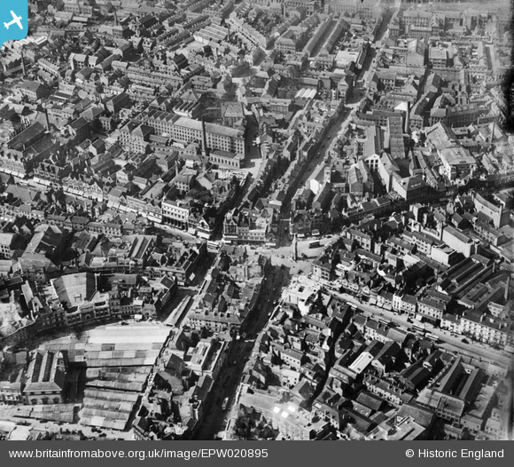
EPW020895 ENGLAND (1928). The city centre, Leicester, 1928
© Hawlfraint cyfranwyr OpenStreetMap a thrwyddedwyd gan yr OpenStreetMap Foundation. 2024. Trwyddedir y gartograffeg fel CC BY-SA.
Delweddau cyfagos (22)
EPW020895

EPW047645

EPW047641

EPW018433

EPW055006

EPW047643

EAW024243

EAW024242

EAW051834

EAW024239

EPW018435

EAW024244

EPW018422

EPW018412

EPW018431

EPW055011

EAW051831

EPW061211

EAW024240

EPW018436

EPW020892

EPW018421

Manylion
| Pennawd | [EPW020895] The city centre, Leicester, 1928 |
| Cyfeirnod | EPW020895 |
| Dyddiad | April-1928 |
| Dolen | |
| Enw lle | LEICESTER |
| Plwyf | |
| Ardal | |
| Gwlad | ENGLAND |
| Dwyreiniad / Gogleddiad | 458730, 304625 |
| Hydred / Lledred | -1.1320663724834, 52.635840948237 |
| Cyfeirnod Grid Cenedlaethol | SK587046 |
Pinnau
 NigelH |
Wednesday 26th of January 2022 01:24:28 PM | |
NigelH |
Wednesday 26th of January 2022 01:21:30 PM | |
Durbs |
Saturday 19th of October 2019 10:36:39 PM | |
Durbs |
Saturday 19th of October 2019 10:35:40 PM | |
diag |
Sunday 27th of October 2013 06:23:21 PM | |
diag |
Sunday 27th of October 2013 06:21:46 PM | |
 Class31 |
Monday 24th of June 2013 04:25:13 PM | |
Class31 |
Monday 24th of June 2013 04:24:48 PM | |
Class31 |
Monday 24th of June 2013 04:24:30 PM | |
deeb |
Sunday 19th of August 2012 07:53:14 AM | |
deeb |
Sunday 19th of August 2012 07:52:30 AM | |
deeb |
Sunday 19th of August 2012 07:51:50 AM |


