
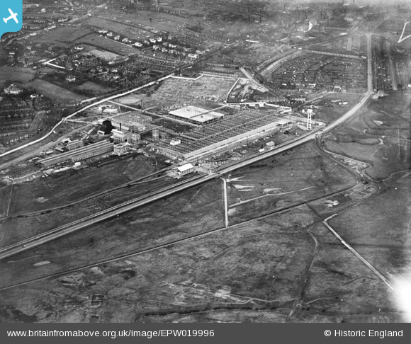
EPW019996 ENGLAND (1927). The Michelin Tyre Company, Trent Vale, 1927
© Hawlfraint cyfranwyr OpenStreetMap a thrwyddedwyd gan yr OpenStreetMap Foundation. 2024. Trwyddedir y gartograffeg fel CC BY-SA.
Delweddau cyfagos (39)
EPW019996

EPW026997

EPW019993

EPW019990

EPW019995

EPW026994

EPW019998

EAW035042

EAW036111

EAW035044

EAW035047

EPW019991

EAW035045

EAW035046

EPW019989

EPW019994

EPW026990

EPW026998

EPW026991

EAW035041

EPW019992

EPW019997

EPW041808

EPW019988

EAW035048

EPW041807

EPW026993

EAW036110

EAW036108

EAW035049

EAW035050

EAW036112

EPW026996

EAW036107

EPW026999

EAW036106

EAW036109

EAW035043

EPW026992

Manylion
| Pennawd | [EPW019996] The Michelin Tyre Company, Trent Vale, 1927 |
| Cyfeirnod | EPW019996 |
| Dyddiad | October-1927 |
| Dolen | |
| Enw lle | TRENT VALE |
| Plwyf | |
| Ardal | |
| Gwlad | ENGLAND |
| Dwyreiniad / Gogleddiad | 387364, 343639 |
| Hydred / Lledred | -2.1882599474794, 52.989626027032 |
| Cyfeirnod Grid Cenedlaethol | SJ874436 |
Pinnau
 Niblett |
Friday 1st of August 2014 05:52:26 PM |


