
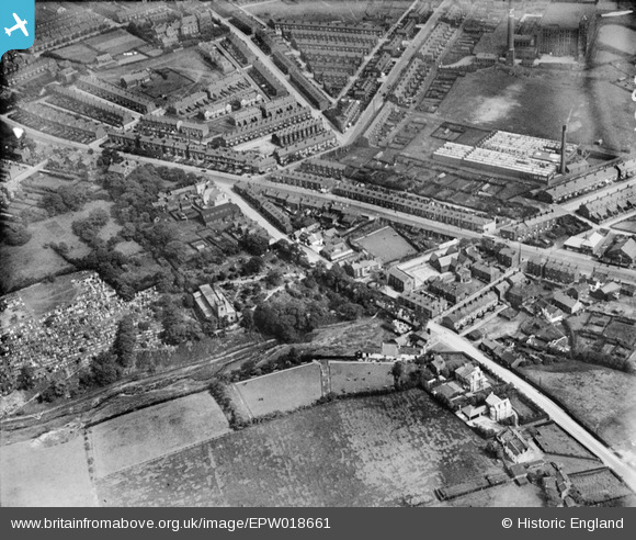
EPW018661 ENGLAND (1927). Wigan Road and environs, Deane, 1927
© Hawlfraint cyfranwyr OpenStreetMap a thrwyddedwyd gan yr OpenStreetMap Foundation. 2024. Trwyddedir y gartograffeg fel CC BY-SA.
Delweddau cyfagos (4)
EPW018661

EPW019340

EPW019339

EPW018662

Manylion
| Pennawd | [EPW018661] Wigan Road and environs, Deane, 1927 |
| Cyfeirnod | EPW018661 |
| Dyddiad | 2-July-1927 |
| Dolen | |
| Enw lle | DEANE |
| Plwyf | |
| Ardal | |
| Gwlad | ENGLAND |
| Dwyreiniad / Gogleddiad | 369367, 408046 |
| Hydred / Lledred | -2.4625950354448, 53.567886390759 |
| Cyfeirnod Grid Cenedlaethol | SD694080 |
Pinnau
 dave44 |
Saturday 6th of February 2021 01:52:55 PM | |
FrankH |
Thursday 29th of October 2020 05:17:06 PM | |
dave44 |
Friday 1st of July 2016 02:38:13 PM | |
dave44 |
Friday 1st of July 2016 02:35:50 PM | |
dave44 |
Monday 18th of August 2014 02:19:17 PM | |
dave44 |
Monday 18th of August 2014 02:17:02 PM | |
David Probett |
Monday 20th of May 2013 09:13:35 PM | |
David Probett |
Monday 20th of May 2013 09:13:12 PM | |
David Probett |
Monday 20th of May 2013 09:12:58 PM | |
David Probett |
Monday 20th of May 2013 09:12:37 PM |


