
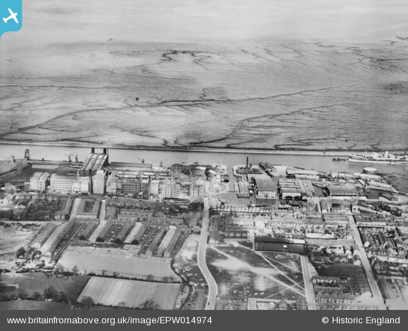
EPW014974 ENGLAND (1926). The town and Stanlow Banks, Ellesmere Port, 1926. This image has been produced from a copy-negative.
© Hawlfraint cyfranwyr OpenStreetMap a thrwyddedwyd gan yr OpenStreetMap Foundation. 2024. Trwyddedir y gartograffeg fel CC BY-SA.
Delweddau cyfagos (11)
EPW014974

EAW043736

EPW027975

EPW027828

EAW415732

EAW043730

EAW043733

EAW043738

EAW043732

EPW015929

EAW043735

Manylion
| Pennawd | [EPW014974] The town and Stanlow Banks, Ellesmere Port, 1926. This image has been produced from a copy-negative. |
| Cyfeirnod | EPW014974 |
| Dyddiad | 11-April-1926 |
| Dolen | |
| Enw lle | ELLESMERE PORT |
| Plwyf | |
| Ardal | |
| Gwlad | ENGLAND |
| Dwyreiniad / Gogleddiad | 340550, 377515 |
| Hydred / Lledred | -2.8919580765403, 53.290985274903 |
| Cyfeirnod Grid Cenedlaethol | SJ406775 |
Pinnau
 Kylix |
Wednesday 2nd of August 2017 09:14:43 AM |


