
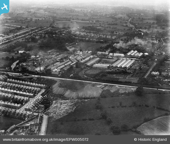
EPW005072 ENGLAND (1920). The Bournville Works, Bournville, 1920
© Hawlfraint cyfranwyr OpenStreetMap a thrwyddedwyd gan yr OpenStreetMap Foundation. 2024. Trwyddedir y gartograffeg fel CC BY-SA.
Delweddau cyfagos (20)
EPW005072

EPW022579

EPW022578

EPW005073

EPW001238

EPW001104

EPW022580

EPW024812

EPW024799

EPW024798

EPW001239

EPW024801

EPW024796

EPW024810

EPW005071

EPW001237

EPW024805

EPW024808

EPW024803

EPW005070

Manylion
| Pennawd | [EPW005072] The Bournville Works, Bournville, 1920 |
| Cyfeirnod | EPW005072 |
| Dyddiad | September-1920 |
| Dolen | |
| Enw lle | BOURNVILLE |
| Plwyf | |
| Ardal | |
| Gwlad | ENGLAND |
| Dwyreiniad / Gogleddiad | 404915, 281263 |
| Hydred / Lledred | -1.9277055984613, 52.428951627031 |
| Cyfeirnod Grid Cenedlaethol | SP049813 |
Pinnau
 Griffin |
Friday 6th of November 2015 07:01:08 PM | |
Griffin |
Friday 6th of November 2015 06:57:04 PM | |
John Smith |
Sunday 17th of March 2013 12:01:55 AM | |
John Smith |
Saturday 16th of March 2013 11:59:29 PM | |
andy308 |
Tuesday 18th of September 2012 07:35:07 PM | |
andy308 |
Tuesday 18th of September 2012 07:34:20 PM | |
andy308 |
Tuesday 18th of September 2012 07:33:29 PM | |
andy308 |
Tuesday 18th of September 2012 07:32:34 PM | |
andy308 |
Tuesday 18th of September 2012 07:30:46 PM |


