
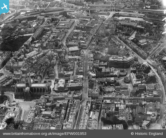
EPW001953 ENGLAND (1920). General view of the town centre, Bath, 1920
© Hawlfraint cyfranwyr OpenStreetMap a thrwyddedwyd gan yr OpenStreetMap Foundation. 2024. Trwyddedir y gartograffeg fel CC BY-SA.
Delweddau cyfagos (27)
EPW001953

EPW033153

EAW000760

EAW000748

EPW001942

EAW000746

EAW000747

EPW001945

EPW001161

EPW001169

EPR000130

EAW000756

EAW000759

EAW000754

EPW053141

EAW000757

EAW000749
 Bridge, Bath, 1946")
EAW023882

EAW023884

EAW000755

EPW033156

EAW000761

EAW023887

EPW001957

EPW001950

EAW023888

EPR000129

Manylion
| Pennawd | [EPW001953] General view of the town centre, Bath, 1920 |
| Cyfeirnod | EPW001953 |
| Dyddiad | July-1920 |
| Dolen | |
| Enw lle | BATH |
| Plwyf | |
| Ardal | |
| Gwlad | ENGLAND |
| Dwyreiniad / Gogleddiad | 375048, 164660 |
| Hydred / Lledred | -2.3585666346544, 51.379944170579 |
| Cyfeirnod Grid Cenedlaethol | ST750647 |
Pinnau
Lynda Tubbs |
Tuesday 18th of March 2014 03:24:01 PM | |
 Class31 |
Monday 10th of March 2014 10:37:59 AM | |
 Chelsea61 |
Sunday 29th of July 2012 09:37:53 AM | |
kent |
Friday 20th of July 2012 08:57:29 AM | |
kent |
Friday 20th of July 2012 08:53:16 AM | |
kent |
Friday 20th of July 2012 08:50:35 AM | |
kent |
Friday 20th of July 2012 08:47:06 AM | |
kent |
Thursday 19th of July 2012 11:13:54 PM | |
kent |
Thursday 19th of July 2012 04:55:32 PM | |
kent |
Thursday 19th of July 2012 04:54:18 PM | |
kent |
Thursday 19th of July 2012 10:08:05 AM | |
kent |
Thursday 19th of July 2012 10:05:08 AM | |
kent |
Thursday 19th of July 2012 09:56:20 AM | |
kent |
Thursday 19th of July 2012 09:44:57 AM | |
kent |
Thursday 19th of July 2012 09:40:47 AM | |
kent |
Thursday 19th of July 2012 09:37:29 AM | |
kent |
Thursday 19th of July 2012 09:35:07 AM | |
kent |
Thursday 19th of July 2012 09:31:36 AM | |
Class31 |
Tuesday 10th of July 2012 09:58:12 AM | |
Class31 |
Tuesday 10th of July 2012 09:57:25 AM | |
Class31 |
Tuesday 10th of July 2012 09:55:52 AM | |
Class31 |
Tuesday 10th of July 2012 09:55:02 AM | |
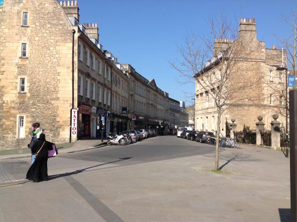
I am not a Bathonian but I believe this to be Southgate Street. |
kent |
Thursday 19th of July 2012 09:51:37 AM |
I humbly apologise! |
Class31 |
Wednesday 24th of October 2012 02:43:15 PM |
Class31 |
Tuesday 10th of July 2012 09:53:15 AM | |
Class31 |
Tuesday 10th of July 2012 09:52:33 AM |
Cyfraniadau Grŵp
Just for the record Bath is a City even though it does not have a cathedral. The photo would be better entitled General view of the city centre, Bath, 1920. |
Class31 |
Thursday 15th of May 2014 05:27:16 PM |
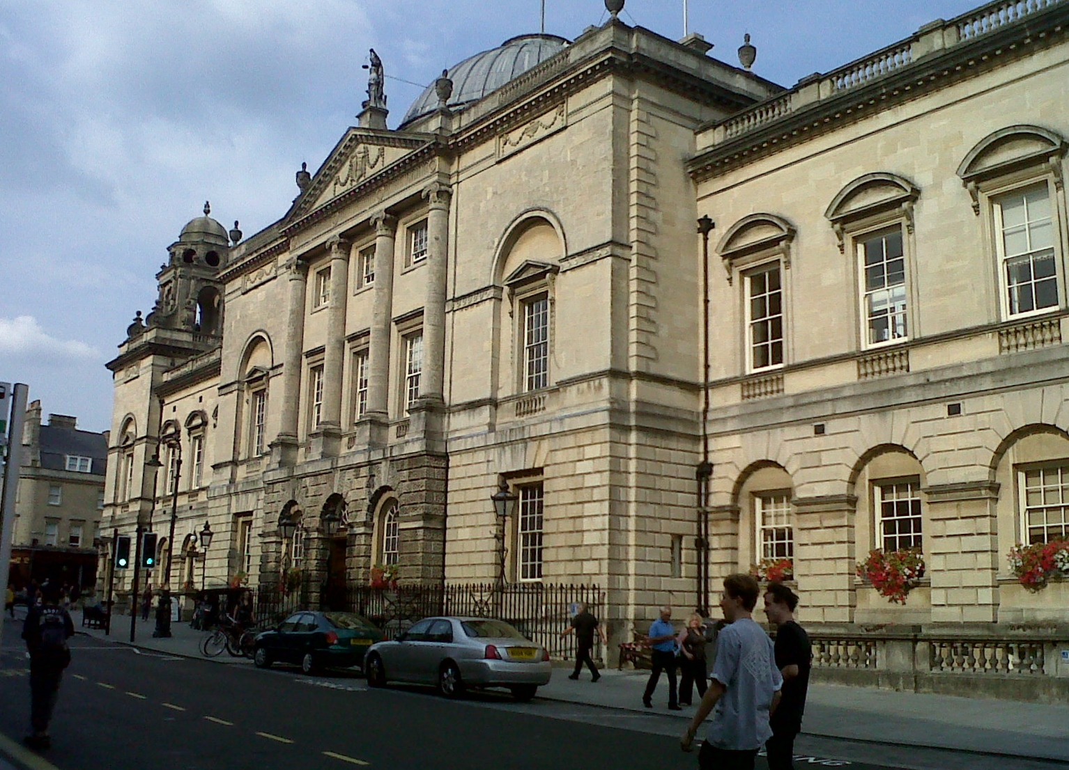 The Guildhall, High Street, Bath 27/08/2013 16.39hrs |
Class31 |
Monday 6th of January 2014 02:27:19 PM |
 High Street looking south showing The Guildhall and Bath Abbey, 27/08/2013 |
Class31 |
Wednesday 28th of August 2013 10:12:40 AM |


