
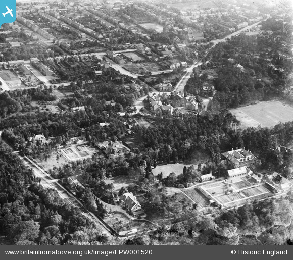
EPW001520 ENGLAND (1920). Church Circle and environs, South Farnborough, 1920
© Hawlfraint cyfranwyr OpenStreetMap a thrwyddedwyd gan yr OpenStreetMap Foundation. 2024. Trwyddedir y gartograffeg fel CC BY-SA.
Manylion
| Pennawd | [EPW001520] Church Circle and environs, South Farnborough, 1920 |
| Cyfeirnod | EPW001520 |
| Dyddiad | June-1920 |
| Dolen | |
| Enw lle | SOUTH FARNBOROUGH |
| Plwyf | |
| Ardal | |
| Gwlad | ENGLAND |
| Dwyreiniad / Gogleddiad | 487536, 154544 |
| Hydred / Lledred | -0.74472083539764, 51.282793265208 |
| Cyfeirnod Grid Cenedlaethol | SU875545 |
Pinnau
 HelenHB |
Thursday 16th of March 2023 11:03:54 PM | |
Sweet Pete |
Friday 2nd of March 2018 01:25:33 PM | |
salix777 |
Wednesday 27th of June 2012 06:37:16 PM | |
salix777 |
Wednesday 27th of June 2012 06:35:24 PM | |
salix777 |
Wednesday 27th of June 2012 06:28:35 PM | |
salix777 |
Wednesday 27th of June 2012 06:23:37 PM | |
salix777 |
Wednesday 27th of June 2012 06:15:57 PM | |
salix777 |
Wednesday 27th of June 2012 06:15:27 PM | |
salix777 |
Wednesday 27th of June 2012 06:14:23 PM | |
salix777 |
Wednesday 27th of June 2012 06:13:11 PM | |
salix777 |
Wednesday 27th of June 2012 06:12:45 PM |


