
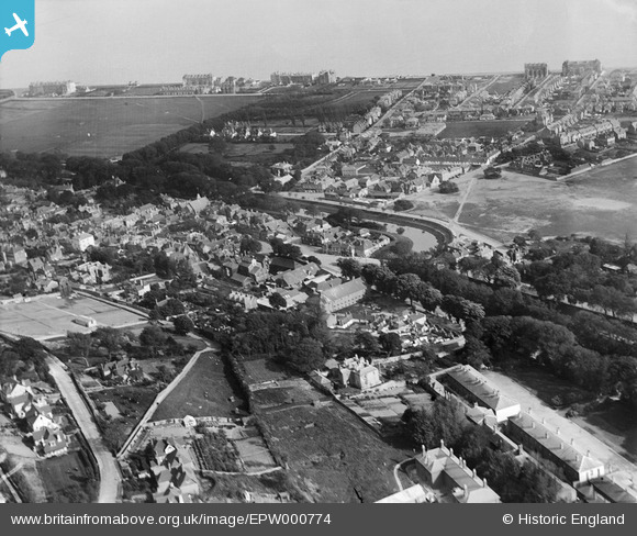
EPW000774 ENGLAND (1920). Hythe, from the north-west, 1920
© Hawlfraint cyfranwyr OpenStreetMap a thrwyddedwyd gan yr OpenStreetMap Foundation. 2024. Trwyddedir y gartograffeg fel CC BY-SA.
Delweddau cyfagos (3)
EPW000774

EPW026120

EPW009221

Manylion
| Pennawd | [EPW000774] Hythe, from the north-west, 1920 |
| Cyfeirnod | EPW000774 |
| Dyddiad | April-1920 |
| Dolen | |
| Enw lle | HYTHE |
| Plwyf | HYTHE |
| Ardal | |
| Gwlad | ENGLAND |
| Dwyreiniad / Gogleddiad | 615867, 134690 |
| Hydred / Lledred | 1.081629098476, 51.070345548335 |
| Cyfeirnod Grid Cenedlaethol | TR159347 |
Pinnau
 Stu Giles |
Thursday 17th of May 2018 08:56:15 AM | |
The Laird |
Saturday 9th of May 2015 12:24:45 PM | |
The Laird |
Saturday 9th of May 2015 12:22:44 PM | |
The Laird |
Saturday 9th of May 2015 12:21:53 PM | |
Paolo |
Tuesday 10th of July 2012 06:04:35 PM | |
Paolo |
Wednesday 27th of June 2012 06:03:03 PM | |
Paolo |
Wednesday 27th of June 2012 04:44:48 PM |


