
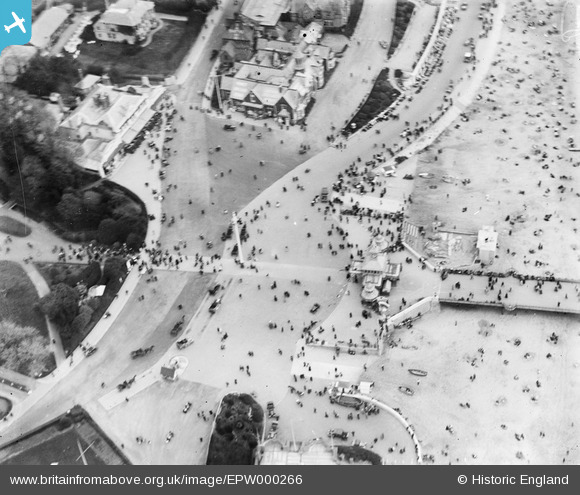
EPW000266 ENGLAND (1920). Pier Approach, Bournemouth, 1920
© Hawlfraint cyfranwyr OpenStreetMap a thrwyddedwyd gan yr OpenStreetMap Foundation. 2024. Trwyddedir y gartograffeg fel CC BY-SA.
Delweddau cyfagos (28)
EPW000266

EPW013560

EAW002993

EPW013552

EPW013553

EPW018167

EPW037423

EAW018154

EAW034624

EPW018164

EPW037418

EPR000286

EPW000253

EPW013563

EPW061510

EPR000662

EPW000261

EPW041046

EAW049056

EPR000663

EAW050053

EPW013551

EPR000661

EPW041045

EPW041047

EPW000252

EPW037422

EPW018155

Manylion
| Pennawd | [EPW000266] Pier Approach, Bournemouth, 1920 |
| Cyfeirnod | EPW000266 |
| Dyddiad | April-1920 |
| Dolen | |
| Enw lle | BOURNEMOUTH |
| Plwyf | |
| Ardal | |
| Gwlad | ENGLAND |
| Dwyreiniad / Gogleddiad | 408871, 90765 |
| Hydred / Lledred | -1.8743315511137, 50.715872310451 |
| Cyfeirnod Grid Cenedlaethol | SZ089908 |
Pinnau
Byddwch y cyntaf i ychwanegu sylw at y ddelwedd hon!
Cyfraniadau Grŵp
 Pier Approach, Bournemouth, 15/10/2015 |
 Class31 |
Monday 19th of October 2015 08:38:52 AM |
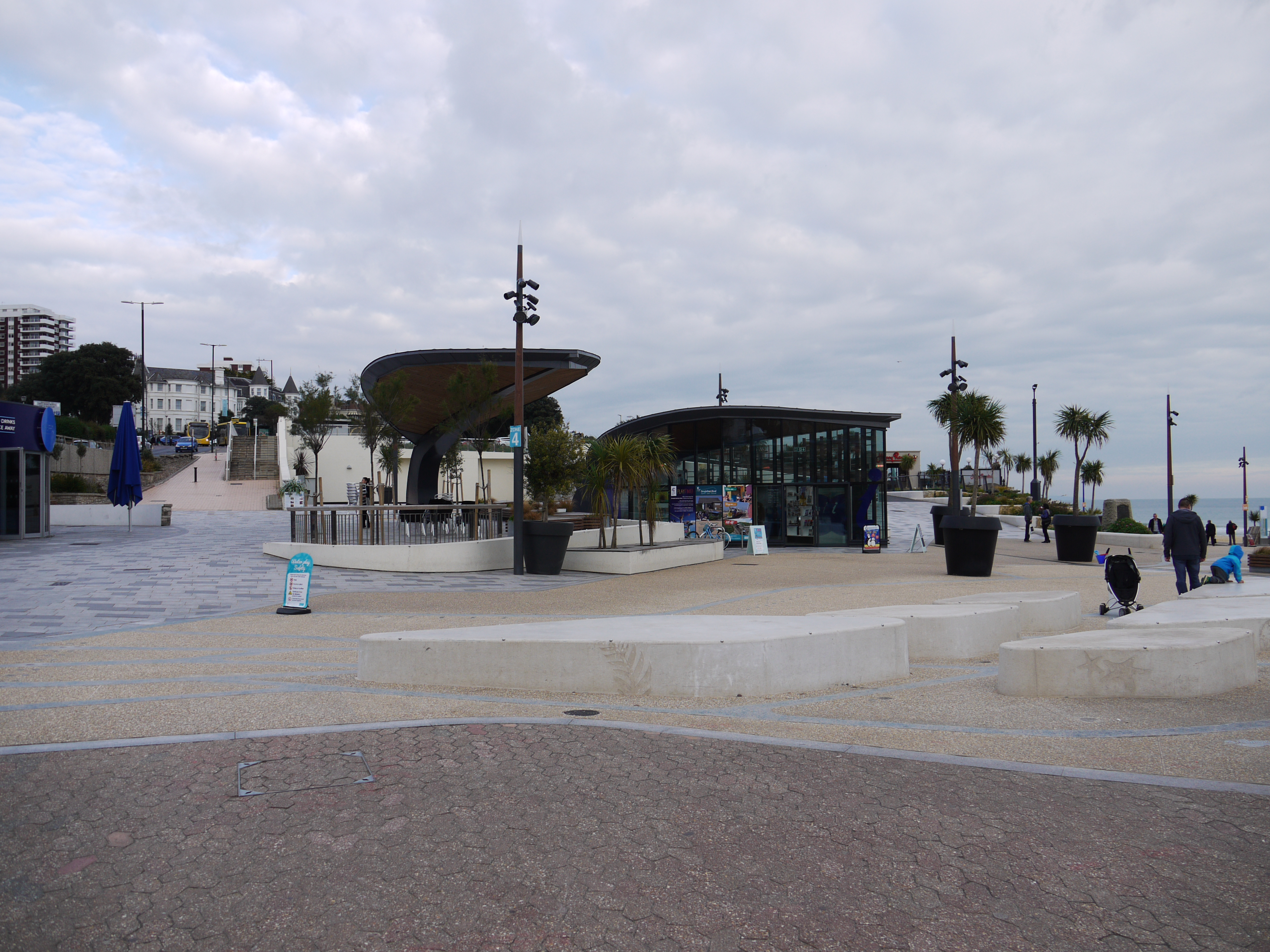 Pier Approach, Bournemouth, 15/10/2015 |
Class31 |
Monday 19th of October 2015 08:38:14 AM |
 The Pier Approach, Bournemouth, 24/01/2015 |
Class31 |
Monday 26th of January 2015 02:54:12 PM |
 The Pier Approach, Bournemouth, 24/01/2015 |
Class31 |
Monday 26th of January 2015 02:53:36 PM |
 The Pier Approach, Bournemouth, 24/01/2015 |
Class31 |
Monday 26th of January 2015 02:52:38 PM |
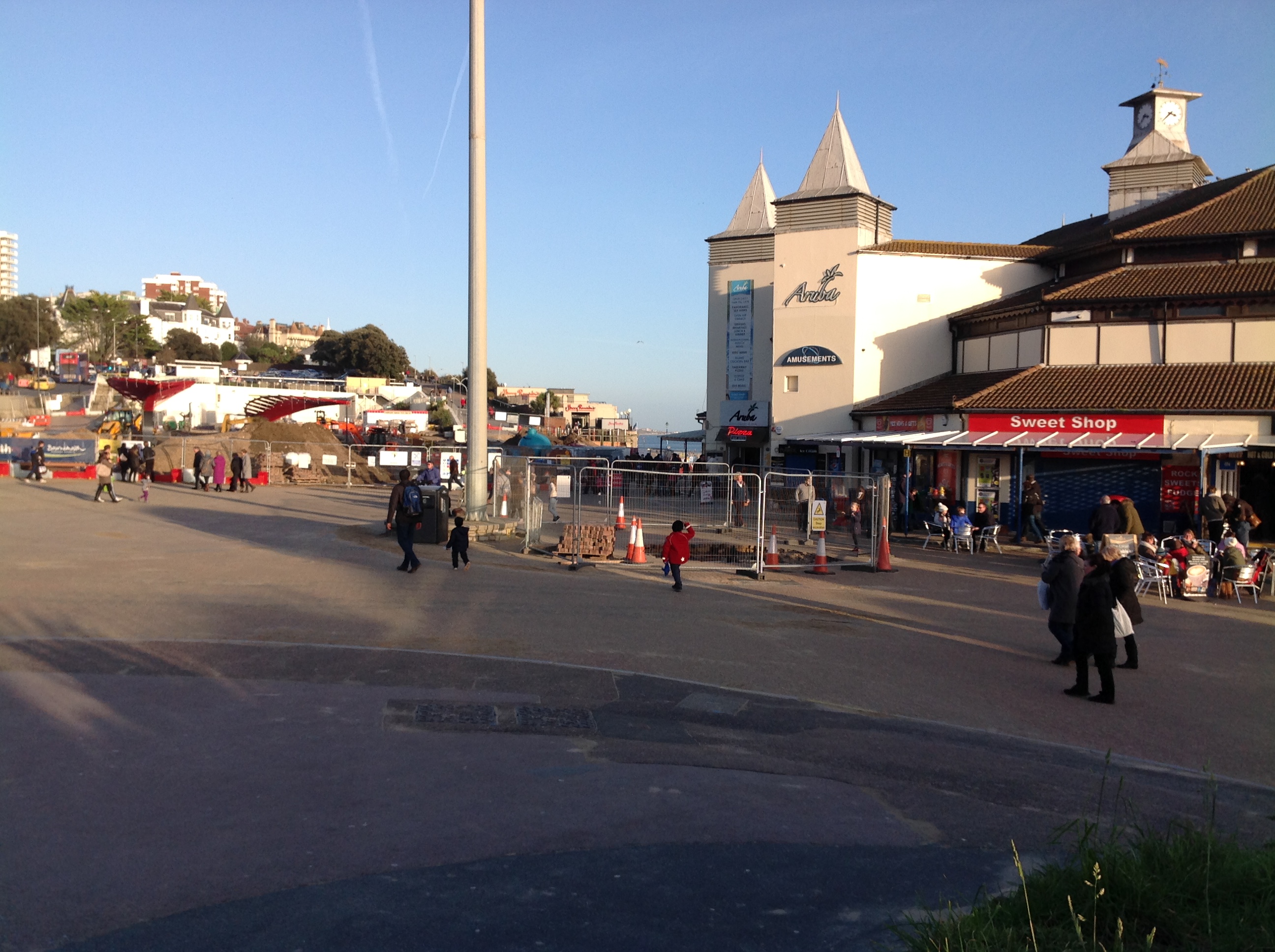
 Fun Fair 18/04/2014 |
Class31 |
Saturday 19th of April 2014 08:32:11 PM |
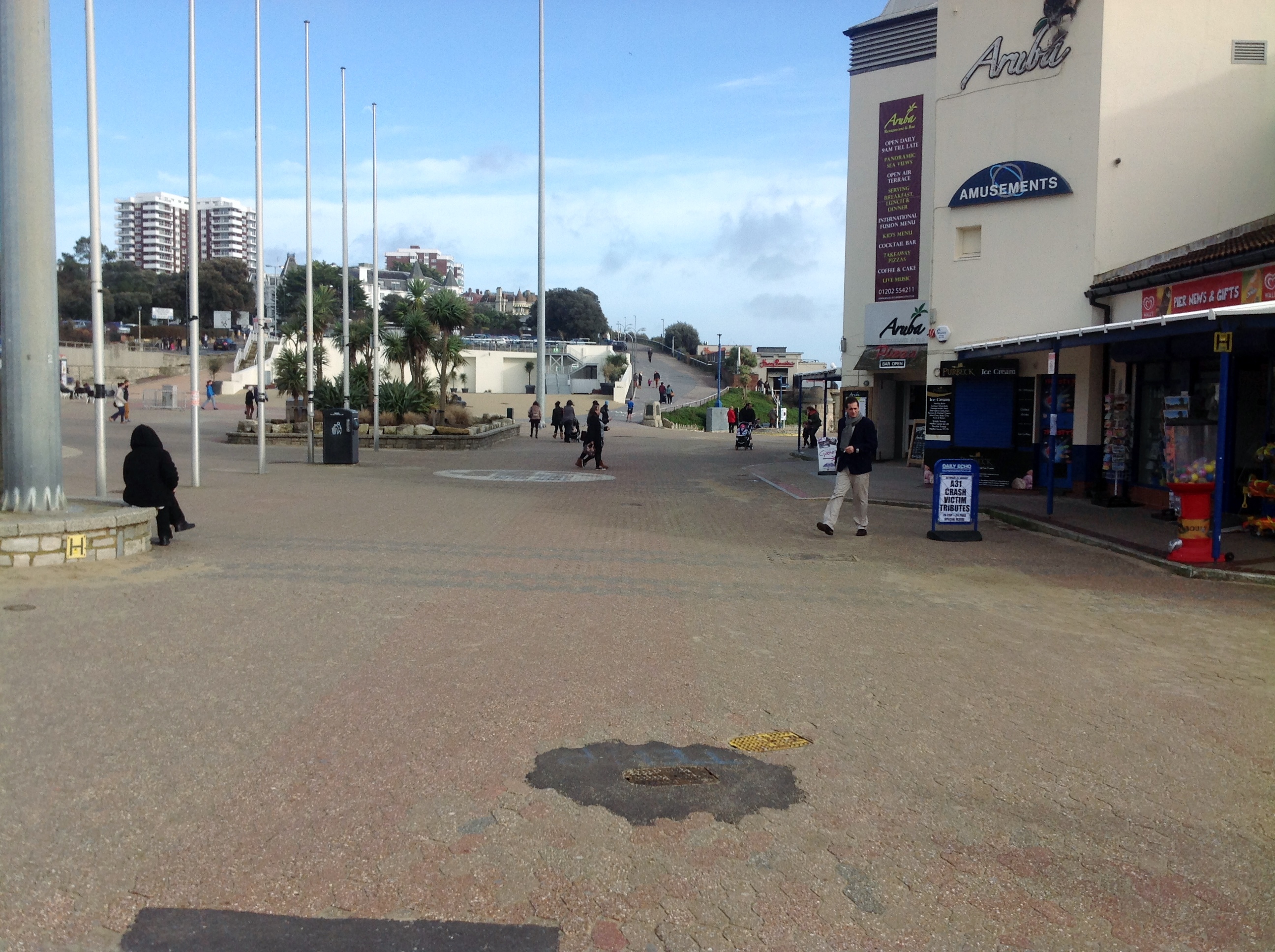 Pier Approach looking east 25/01/2014 |
Class31 |
Sunday 26th of January 2014 02:35:38 PM |
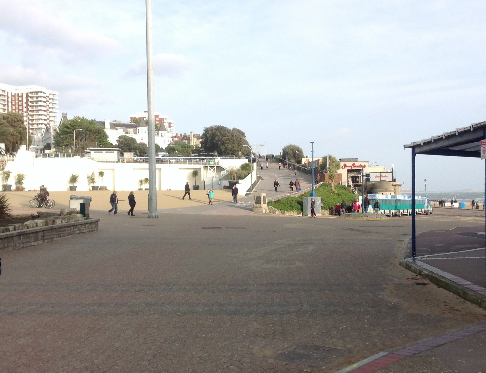 Pier Approach looking east 25/01/2014 |
Class31 |
Sunday 26th of January 2014 02:33:44 PM |
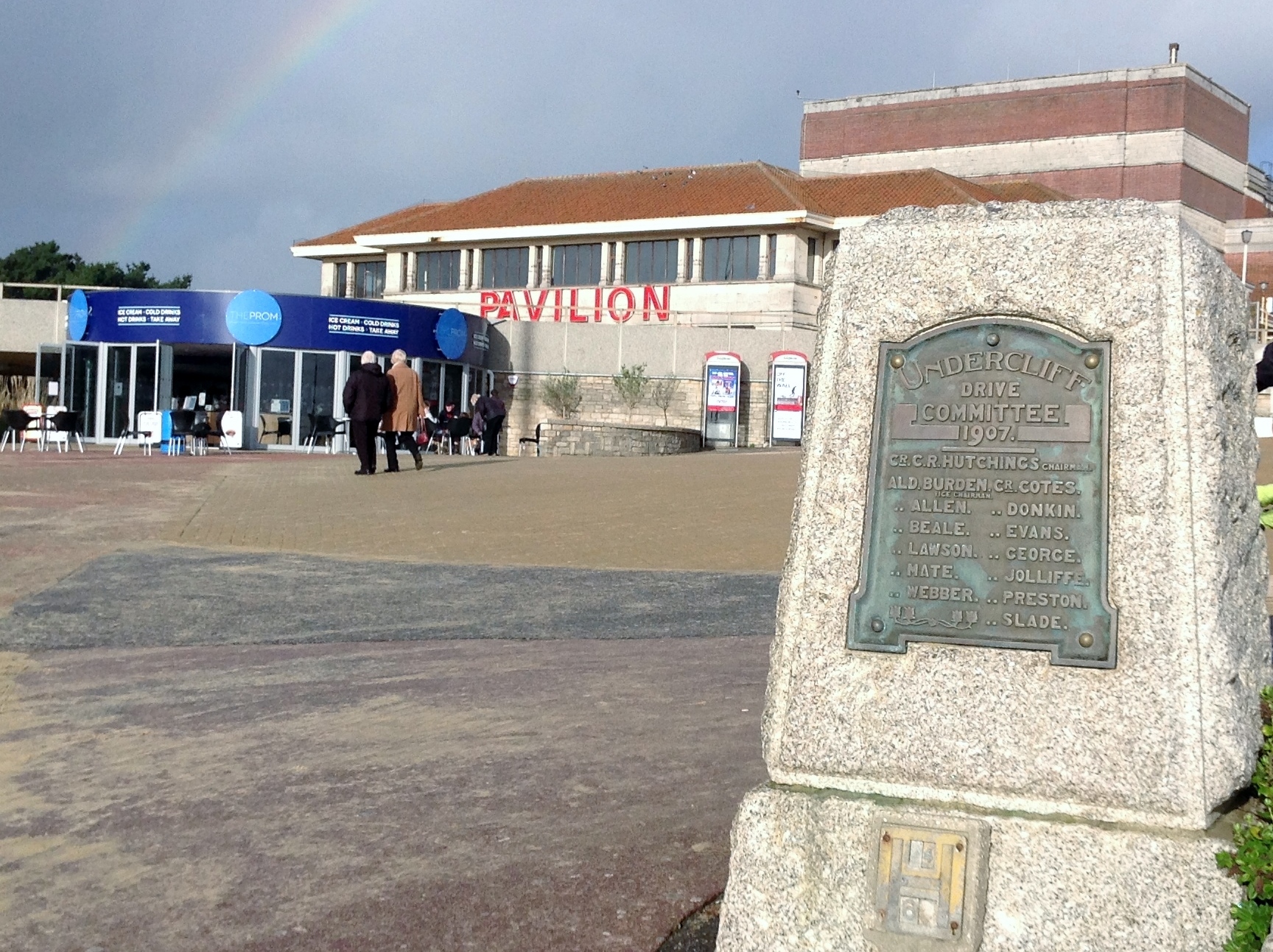 The Pavilion 02/01/2014 12.36hrs |
Class31 |
Friday 3rd of January 2014 06:08:42 PM |


