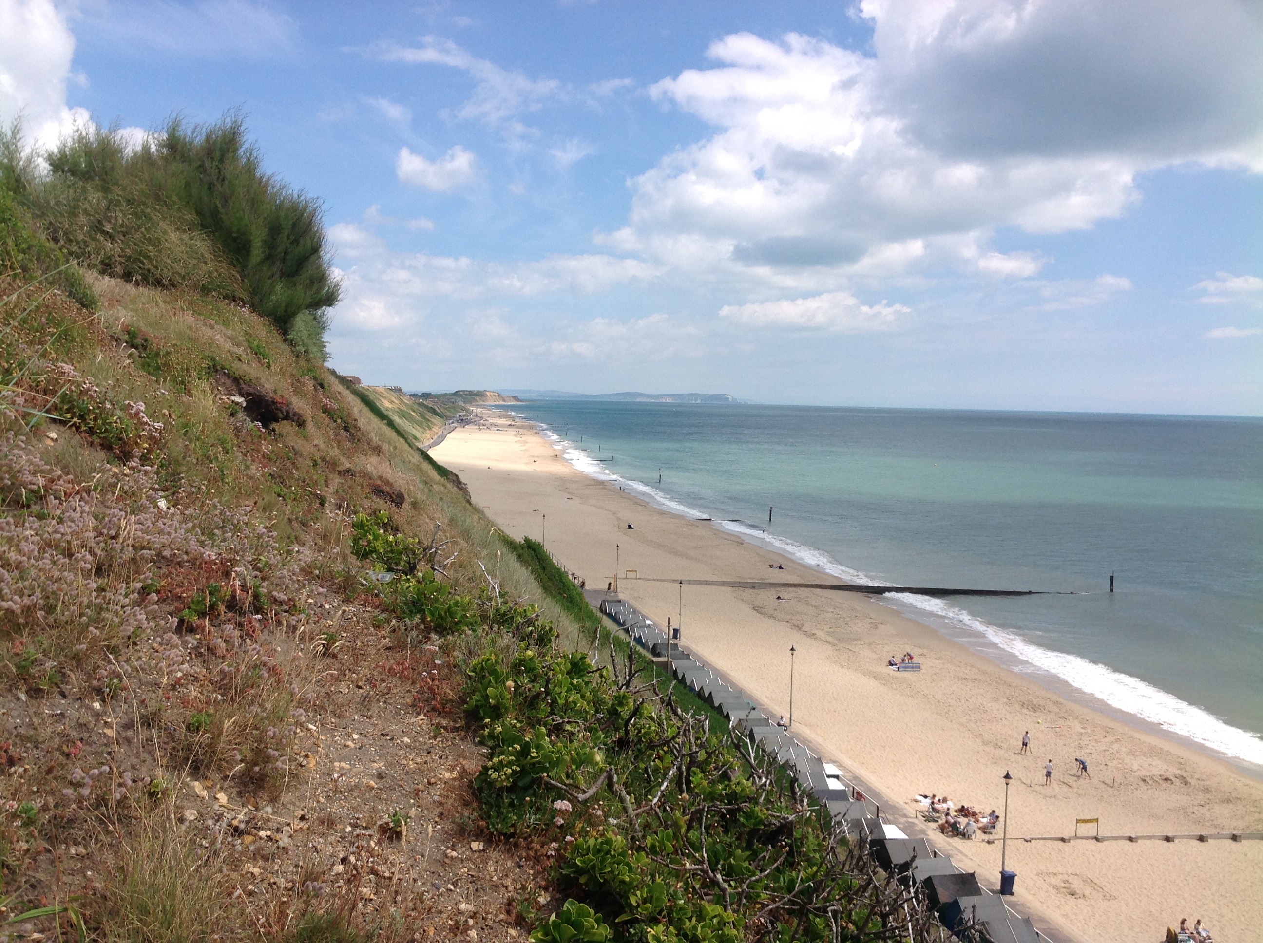
EAW049059 ENGLAND (1953). The residential area off Boscombe Overcliff Drive and environs, Pokesdown, from the south-east, 1953

© Hawlfraint cyfranwyr OpenStreetMap a thrwyddedwyd gan yr OpenStreetMap Foundation. 2024. Trwyddedir y gartograffeg fel CC BY-SA.
Delweddau cyfagos (2)
EAW049059

EPW041052

Manylion
| Pennawd | [EAW049059] The residential area off Boscombe Overcliff Drive and environs, Pokesdown, from the south-east, 1953 |
| Cyfeirnod | EAW049059 |
| Dyddiad | 4-May-1953 |
| Dolen | |
| Enw lle | POKESDOWN |
| Plwyf | |
| Ardal | |
| Gwlad | ENGLAND |
| Dwyreiniad / Gogleddiad | 412590, 91213 |
| Hydred / Lledred | -1.8216323554635, 50.719832788608 |
| Cyfeirnod Grid Cenedlaethol | SZ126912 |
Pinnau
 BarryStone |
Thursday 20th of July 2017 03:18:09 PM | |
BarryStone |
Thursday 20th of July 2017 03:16:51 PM | |
BarryStone |
Monday 17th of July 2017 01:42:44 PM | |
 Class31 |
Saturday 17th of October 2015 11:05:01 PM | |
Class31 |
Saturday 17th of October 2015 11:01:48 PM | |
Class31 |
Tuesday 15th of July 2014 09:39:27 AM | |
Class31 |
Tuesday 15th of July 2014 09:37:47 AM | |
Class31 |
Tuesday 15th of July 2014 09:36:16 AM |