
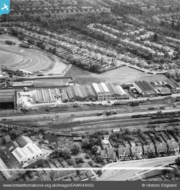
EAW044061 ENGLAND (1952). Industrial buildings next to the railway line, Hall Green, 1952. This image was marked by Aerofilms Ltd for photo editing.
© Hawlfraint cyfranwyr OpenStreetMap a thrwyddedwyd gan yr OpenStreetMap Foundation. 2024. Trwyddedir y gartograffeg fel CC BY-SA.
Delweddau cyfagos (12)
EAW044061

EAW044055

EAW044057

EAW044058

EAW044060

EAW044054

EAW044056

EAW044052

EAW044059

EAW044062

EPW027017

EAW044053

Manylion
| Pennawd | [EAW044061] Industrial buildings next to the railway line, Hall Green, 1952. This image was marked by Aerofilms Ltd for photo editing. |
| Cyfeirnod | EAW044061 |
| Dyddiad | 16-June-1952 |
| Dolen | |
| Enw lle | HALL GREEN |
| Plwyf | |
| Ardal | |
| Gwlad | ENGLAND |
| Dwyreiniad / Gogleddiad | 410743, 282245 |
| Hydred / Lledred | -1.8419506179107, 52.437697359357 |
| Cyfeirnod Grid Cenedlaethol | SP107822 |
Pinnau
 PennyB |
Tuesday 14th of October 2014 07:54:12 AM | |
PennyB |
Tuesday 14th of October 2014 07:53:19 AM | |
PennyB |
Tuesday 14th of October 2014 07:52:36 AM | |
PennyB |
Sunday 12th of October 2014 02:20:13 PM | |
PennyB |
Sunday 12th of October 2014 02:19:38 PM | |
PennyB |
Sunday 12th of October 2014 02:19:05 PM | |
PennyB |
Sunday 12th of October 2014 02:18:37 PM |


