
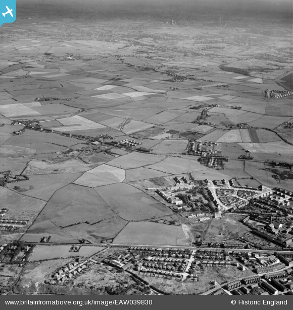
EAW039830 ENGLAND (1951). New housing by The Elms and surrounding fields, Whitefield, from the north-west, 1951
© Hawlfraint cyfranwyr OpenStreetMap a thrwyddedwyd gan yr OpenStreetMap Foundation. 2024. Trwyddedir y gartograffeg fel CC BY-SA.
Delweddau cyfagos (3)
EAW039830

EAW039839

EAW039840

Manylion
| Pennawd | [EAW039830] New housing by The Elms and surrounding fields, Whitefield, from the north-west, 1951 |
| Cyfeirnod | EAW039830 |
| Dyddiad | 15-September-1951 |
| Dolen | |
| Enw lle | WHITEFIELD |
| Plwyf | |
| Ardal | |
| Gwlad | ENGLAND |
| Dwyreiniad / Gogleddiad | 380750, 406771 |
| Hydred / Lledred | -2.2906226638942, 53.55696629358 |
| Cyfeirnod Grid Cenedlaethol | SD808068 |
Pinnau
 Paul Williams |
Wednesday 13th of September 2023 09:18:52 PM | |
redmist |
Friday 28th of December 2018 08:05:09 PM | |
boltie |
Tuesday 13th of February 2018 06:20:19 PM | |
boltie |
Thursday 9th of March 2017 12:52:07 AM | |
boltie |
Thursday 9th of March 2017 12:51:36 AM | |
boltie |
Thursday 9th of March 2017 12:50:58 AM | |
boltie |
Wednesday 17th of August 2016 11:47:44 PM |


