
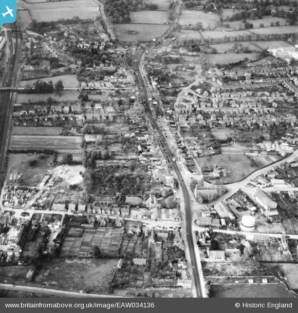
EAW034136 ENGLAND (1950). The High Street and town, Stevenage, 1950
© Hawlfraint cyfranwyr OpenStreetMap a thrwyddedwyd gan yr OpenStreetMap Foundation. 2024. Trwyddedir y gartograffeg fel CC BY-SA.
Delweddau cyfagos (9)
EAW034136

EPW025524

EPW013411

EAW034137

EAW023206

EPW025526

EAW034139

EPW013410

EAW023208

Manylion
| Pennawd | [EAW034136] The High Street and town, Stevenage, 1950 |
| Cyfeirnod | EAW034136 |
| Dyddiad | 26-October-1950 |
| Dolen | |
| Enw lle | STEVENAGE |
| Plwyf | |
| Ardal | |
| Gwlad | ENGLAND |
| Dwyreiniad / Gogleddiad | 523381, 224974 |
| Hydred / Lledred | -0.20615257946849, 51.909182185326 |
| Cyfeirnod Grid Cenedlaethol | TL234250 |
Pinnau
 John Wass |
Saturday 25th of September 2021 03:21:58 PM | |
 Matt Aldred edob.mattaldred.com |
Tuesday 12th of May 2020 03:09:56 PM | |
andy |
Monday 22nd of July 2019 04:51:27 PM | |
 melgibbs |
Thursday 19th of March 2015 08:46:53 PM | |
Chells809 |
Friday 6th of June 2014 12:27:22 PM |


