
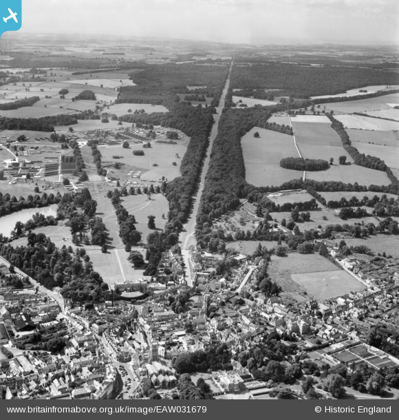
EAW031679 ENGLAND (1950). Cirencester Park and the Broad Ride, Cirencester, 1950
© Hawlfraint cyfranwyr OpenStreetMap a thrwyddedwyd gan yr OpenStreetMap Foundation. 2024. Trwyddedir y gartograffeg fel CC BY-SA.
Delweddau cyfagos (10)
EAW031679

EAW015790

EAW015789

EAW031680

EAW015788

EAW031677

EPW037748

EPW022408

EPW022407

EPW037747

Manylion
| Pennawd | [EAW031679] Cirencester Park and the Broad Ride, Cirencester, 1950 |
| Cyfeirnod | EAW031679 |
| Dyddiad | 3-August-1950 |
| Dolen | |
| Enw lle | CIRENCESTER |
| Plwyf | CIRENCESTER |
| Ardal | |
| Gwlad | ENGLAND |
| Dwyreiniad / Gogleddiad | 401999, 202150 |
| Hydred / Lledred | -1.9710604528787, 51.717615446195 |
| Cyfeirnod Grid Cenedlaethol | SP020022 |
Pinnau
 SimonU |
Tuesday 24th of July 2018 03:32:17 PM | |
Lynda Tubbs |
Wednesday 1st of October 2014 03:36:21 PM | |
 clippedwings |
Friday 19th of September 2014 08:13:54 PM | |
 Alan McFaden |
Sunday 11th of May 2014 09:52:19 AM | |
Alan McFaden |
Sunday 11th of May 2014 09:47:59 AM |


