
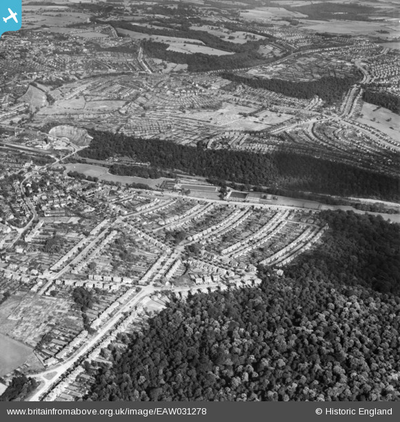
EAW031278 ENGLAND (1950). Hutcliffe Wood, Millhouses and environs, Sheffield, 1950
© Hawlfraint cyfranwyr OpenStreetMap a thrwyddedwyd gan yr OpenStreetMap Foundation. 2024. Trwyddedir y gartograffeg fel CC BY-SA.
Delweddau cyfagos (6)
EAW031278

EAW031277

EAW031276

EPW020407

EPW020409

EAW031275

Manylion
| Pennawd | [EAW031278] Hutcliffe Wood, Millhouses and environs, Sheffield, 1950 |
| Cyfeirnod | EAW031278 |
| Dyddiad | 26-July-1950 |
| Dolen | |
| Enw lle | SHEFFIELD |
| Plwyf | |
| Ardal | |
| Gwlad | ENGLAND |
| Dwyreiniad / Gogleddiad | 433228, 382958 |
| Hydred / Lledred | -1.5008704010015, 53.34220773534 |
| Cyfeirnod Grid Cenedlaethol | SK332830 |
Pinnau
 |
 redmist |
Monday 15th of October 2018 09:17:35 AM |
 |
redmist |
Monday 15th of October 2018 09:11:53 AM |
redmist |
Monday 15th of October 2018 08:57:21 AM | |
llan |
Friday 8th of December 2017 01:27:02 PM | |
llan |
Friday 8th of December 2017 01:13:48 PM | |
llan |
Friday 8th of December 2017 01:11:35 PM | |
llan |
Friday 8th of December 2017 01:09:44 PM | |
llan |
Friday 8th of December 2017 01:07:35 PM | |
llan |
Friday 8th of December 2017 01:06:01 PM | |
flubber |
Wednesday 16th of July 2014 11:56:11 AM |


