
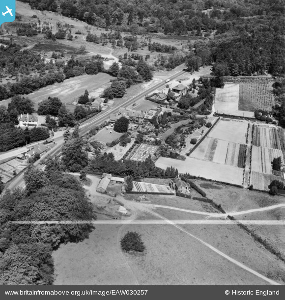
EAW030257 ENGLAND (1950). The Roebuck Hotel and the surrounding area, Wych Cross, 1950. This image was marked by Aerofilms Ltd for photo editing.
© Hawlfraint cyfranwyr OpenStreetMap a thrwyddedwyd gan yr OpenStreetMap Foundation. 2024. Trwyddedir y gartograffeg fel CC BY-SA.
Delweddau cyfagos (7)
EAW030257

EAW030255

EAW030256

EAW030258

EAW030260

EAW030259

EAW030254

Manylion
| Pennawd | [EAW030257] The Roebuck Hotel and the surrounding area, Wych Cross, 1950. This image was marked by Aerofilms Ltd for photo editing. |
| Cyfeirnod | EAW030257 |
| Dyddiad | 6-June-1950 |
| Dolen | |
| Enw lle | WYCH CROSS |
| Plwyf | FOREST ROW |
| Ardal | |
| Gwlad | ENGLAND |
| Dwyreiniad / Gogleddiad | 542009, 131867 |
| Hydred / Lledred | 0.027044053323336, 51.068011199798 |
| Cyfeirnod Grid Cenedlaethol | TQ420319 |
Pinnau
 clippedwings |
Wednesday 22nd of April 2015 02:02:07 PM | |
 john hacker |
Wednesday 22nd of April 2015 01:52:56 PM | |
john hacker |
Wednesday 22nd of April 2015 01:50:50 PM |


